Skip to content
Explore
Planner
Routes on the map

EXPLORE ROUTES

Where shall we go?

Find a walk or a hike in Slovakia, Czechia and the Dolomites.
Record
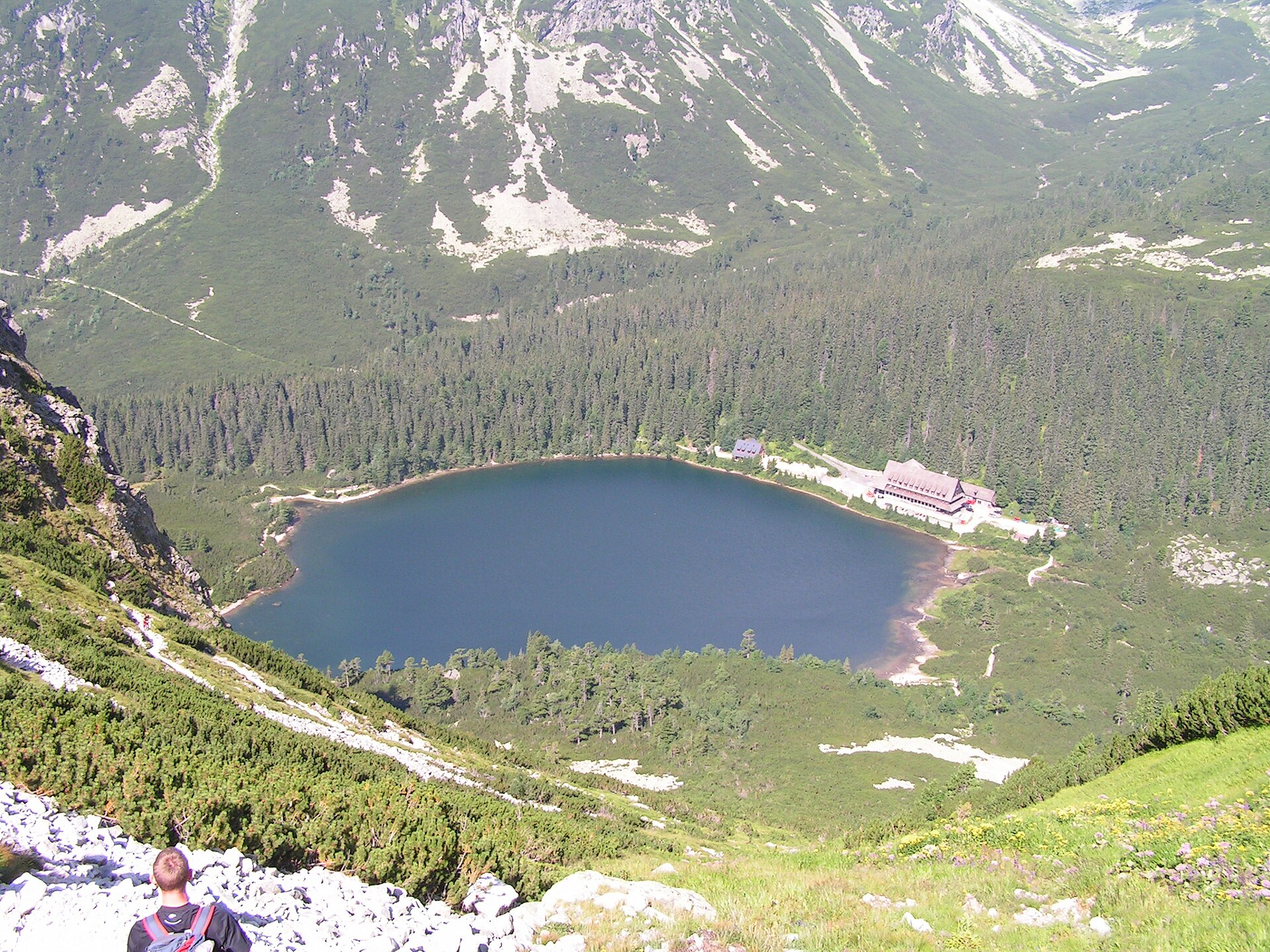
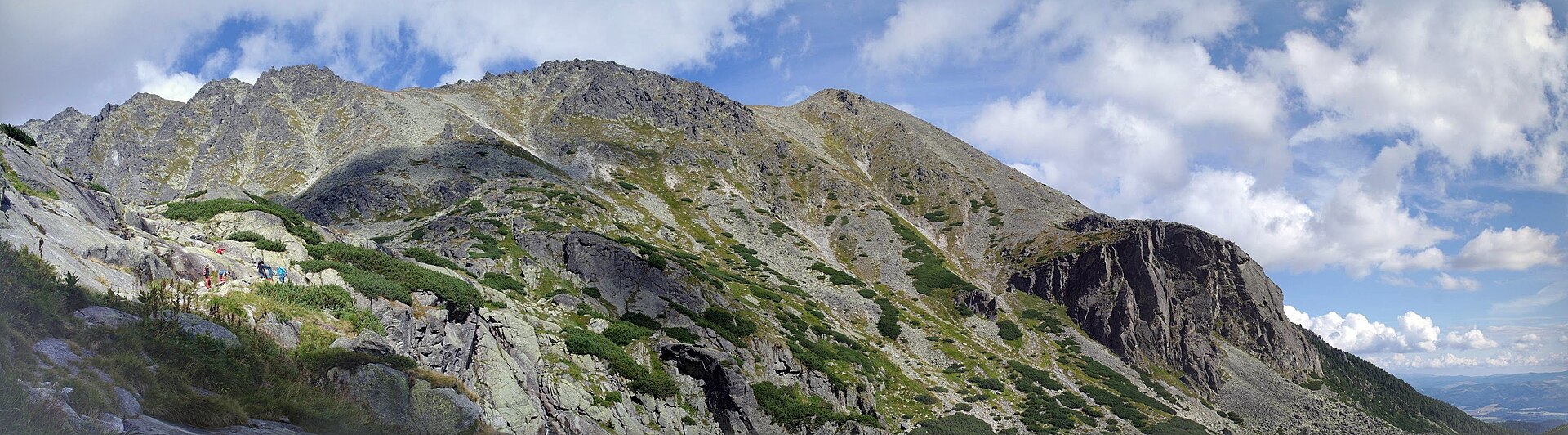
Popradské pleso viewed from Ostrva

Slovakia · GLERI source-reviewed route

A forest trail between two lakes in the High Tatras.
Photo credit

Hugo · Public domain · regional context, not traversal evidence

Routes 45 · Loading community…

GLERI routes

Reviewed against sources. Check access before you go.
Ukrainian CarpathiansGLERI route · official sources
Hoverla
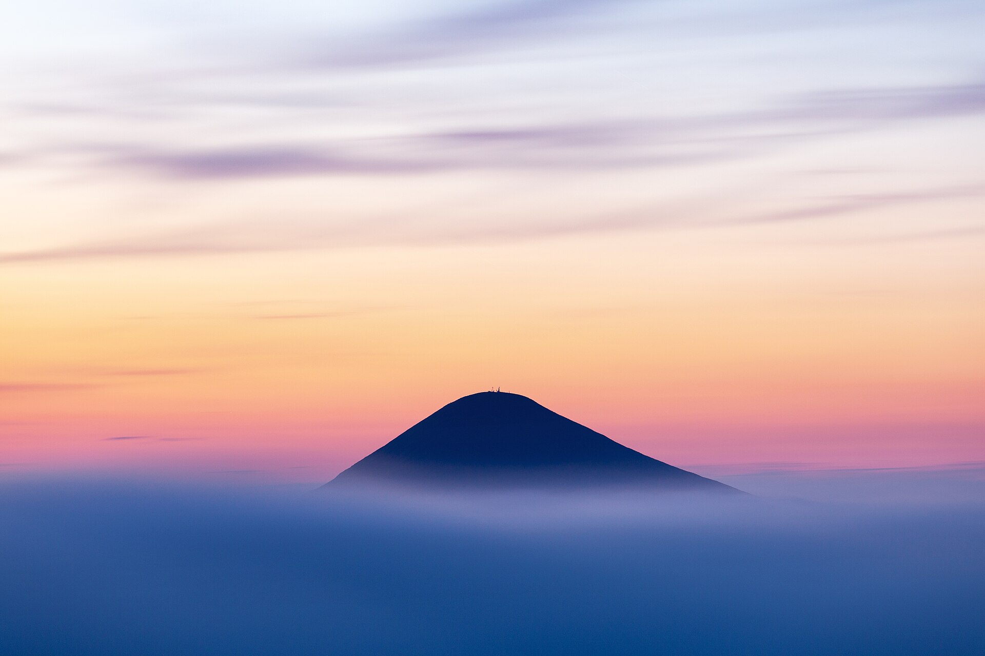
Hoverla after sunset
Photo credits

Place photograph · visual context, not traversal evidence. Khoroshkov · CC BY-SA 4.0

Hoverlianske checkpoint, Zavoiela → HoverlaHoverla

Via Foreshchanka · ZarosliakHoverlianske checkpoint, Zavoiela → Hoverla

HikeActivity10.5 kmSource itineraryHardDifficulty
Route notes & sources

From the Prut valley and spruce forest to Ukraine’s highest summit. The park itinerary begins at the Zavoiela checkpoint and continues via Zarosliak.

Route notes describe the named stops; a GPS track is not stored.
Ukrainian CarpathiansGLERI route · official sources
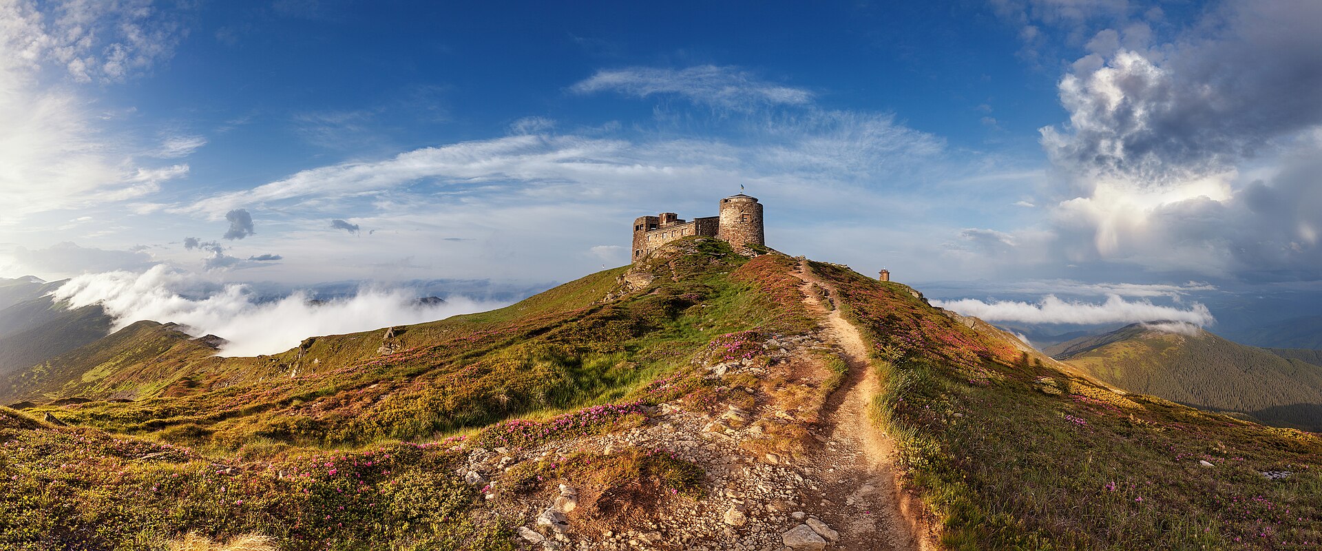
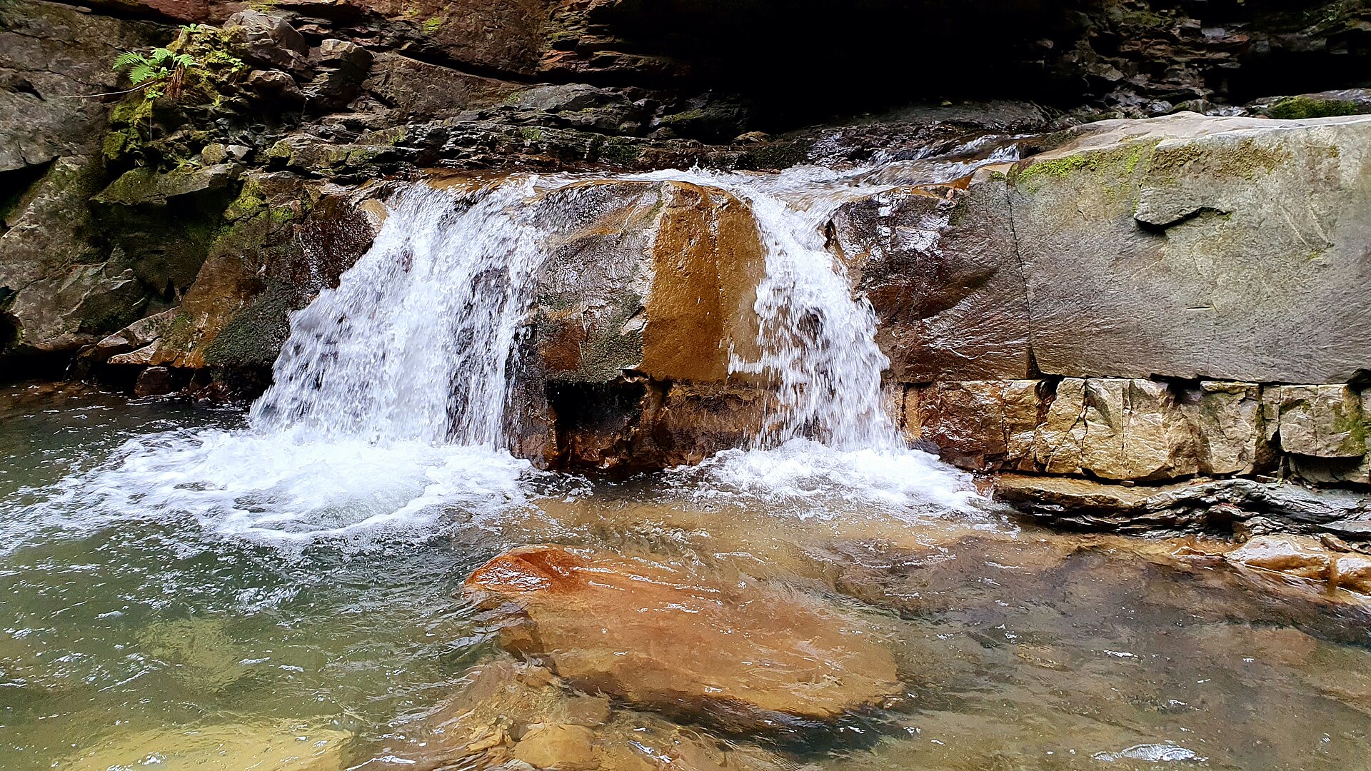
Pip Ivan
Pip Ivan observatory
Photo credits

Place photograph · visual context, not traversal evidence. Khoroshkov · CC BY-SA 4.0

Shybene, Chornohirske park office → Pip Ivan ChornohirskyiPip Ivan

Via Pohorilets · Vesnarka meadow +1Shybene, Chornohirske park office → Pip Ivan Chornohirskyi

HikeActivity10.3 kmOne wayHardDifficulty
Route notes & sources

A forest approach from Shybene, Vesnarka meadow and a lake before climbing to the stone observatory on the Chornohora ridge.

Route notes describe the named stops; a GPS track is not stored.
Ukrainian CarpathiansGLERI route · official sources
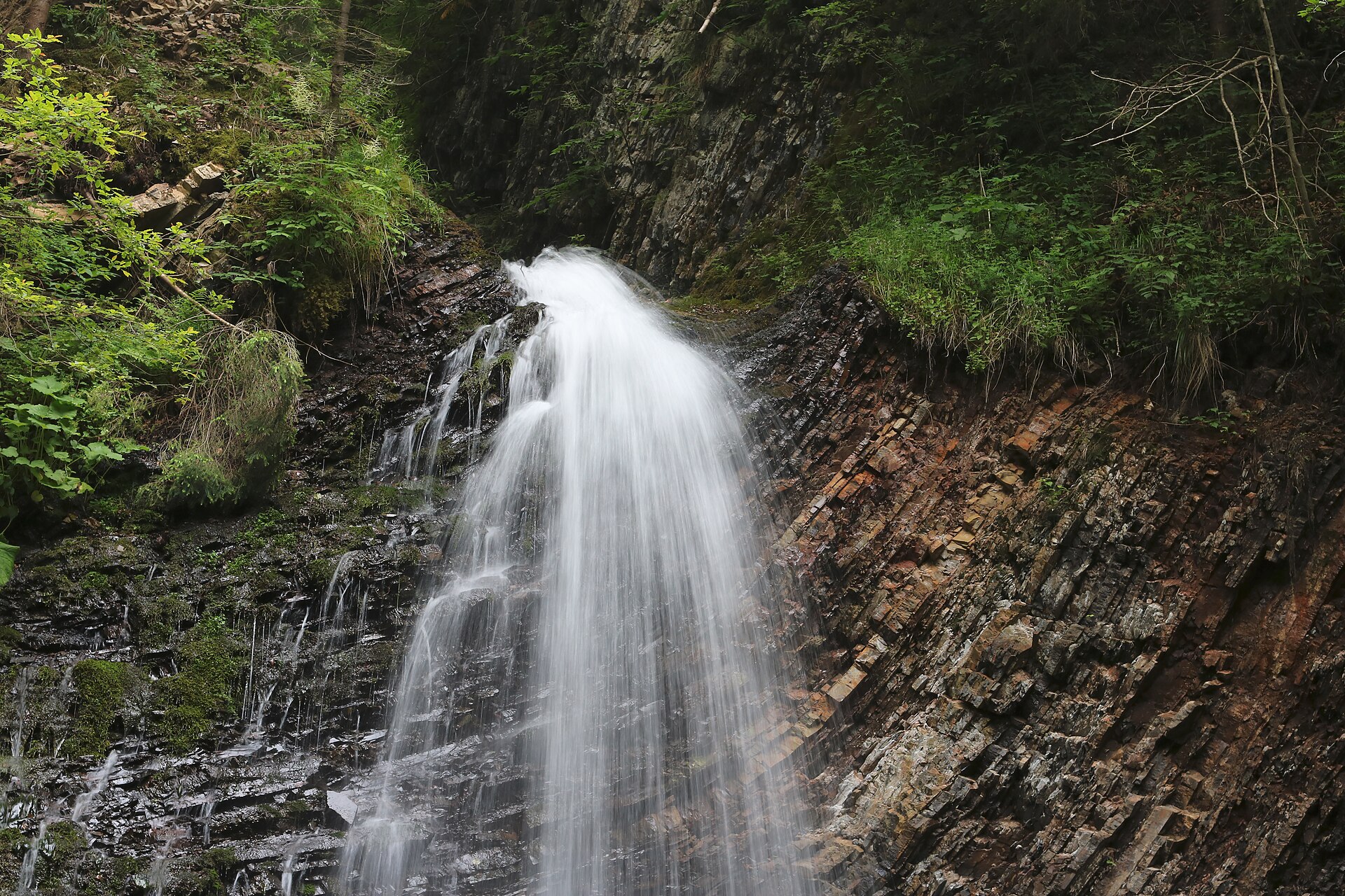
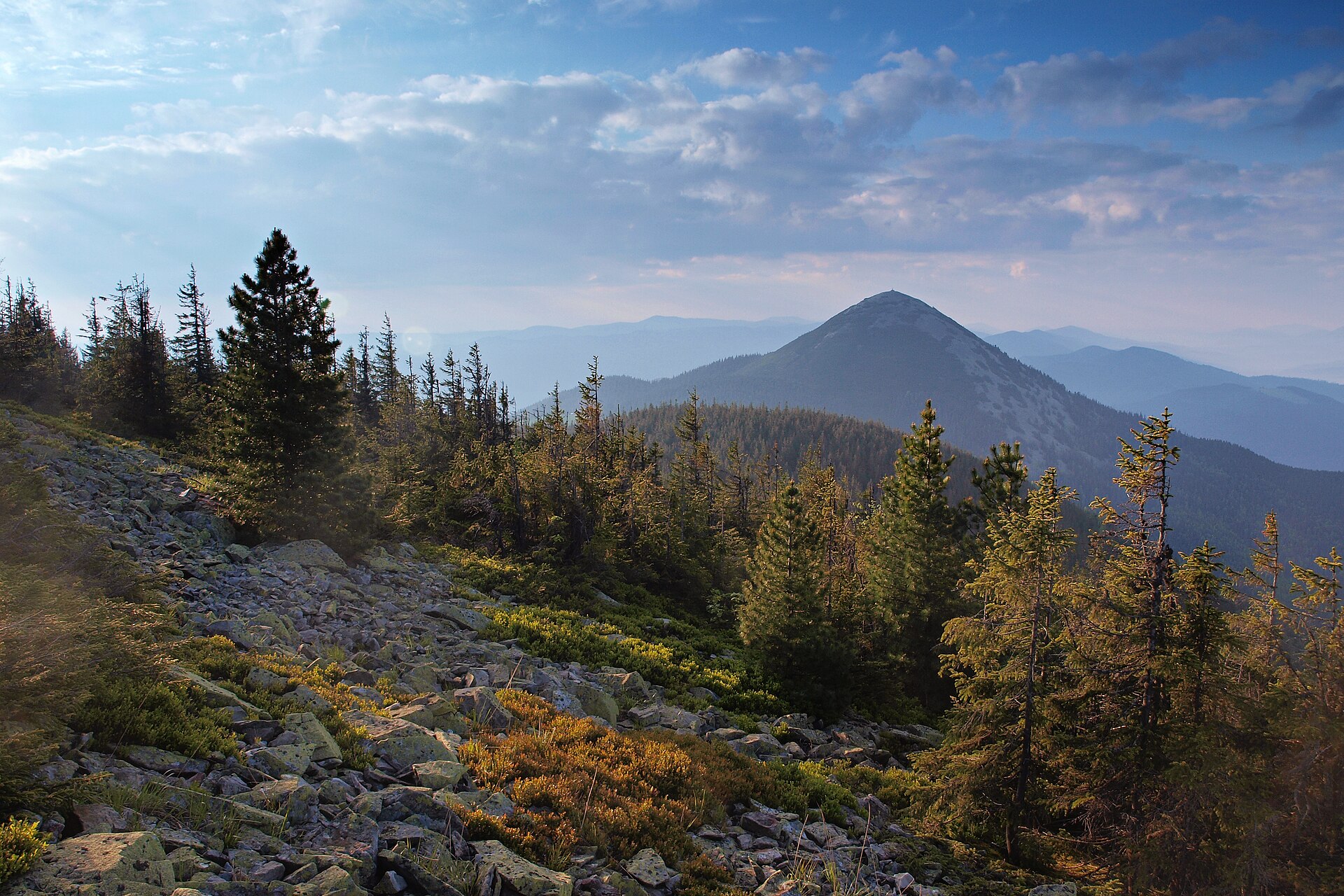
Zhenetskyi Huk
Zhenetskyi Huk waterfall
Photo credits

Place photograph · visual context, not traversal evidence. George Chernilevsky · CC BY-SA 4.0

Zhenets valley → Huk waterfallZhenetskyi Huk

Direct route notesZhenets valley → Huk waterfall

WalkActivity4.8 kmOne wayEasyDifficulty
Route notes & sources

A valley walk to a Carpathian waterfall. The park gives 4.75 km for the outward route to Huk; allow separately for the return.

Route notes describe the named stops; a GPS track is not stored.
Ukrainian CarpathiansGLERI route · official sources
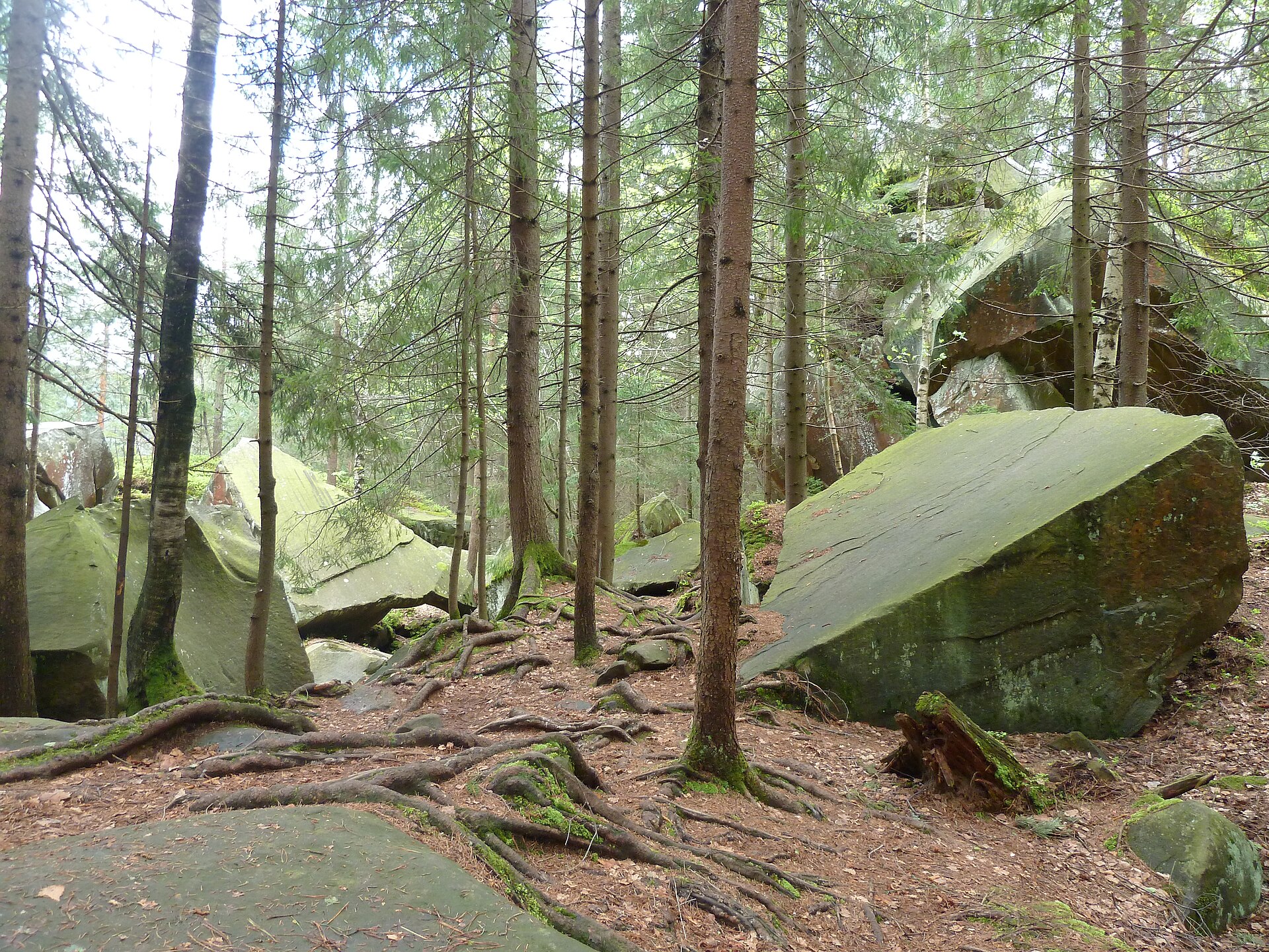
Divochi Slozy
Divochi Slozy waterfall in Yaremche
Photo credits

Place photograph · visual context, not traversal evidence. Gudyma s · CC BY-SA 3.0

Wildlife enclosure, Yaremche → Divochi Slozy waterfallDivochi Slozy

Via Zhonka streamWildlife enclosure, Yaremche → Divochi Slozy waterfall

WalkActivity2 kmOne wayEasyDifficulty
Route notes & sources

A short walk through beech and spruce beside the Zhonka stream. A forest road leads from the wildlife enclosure to a small two-tier waterfall.

Route notes describe the named stops; a GPS track is not stored.
Ukrainian CarpathiansGLERI route · official sources
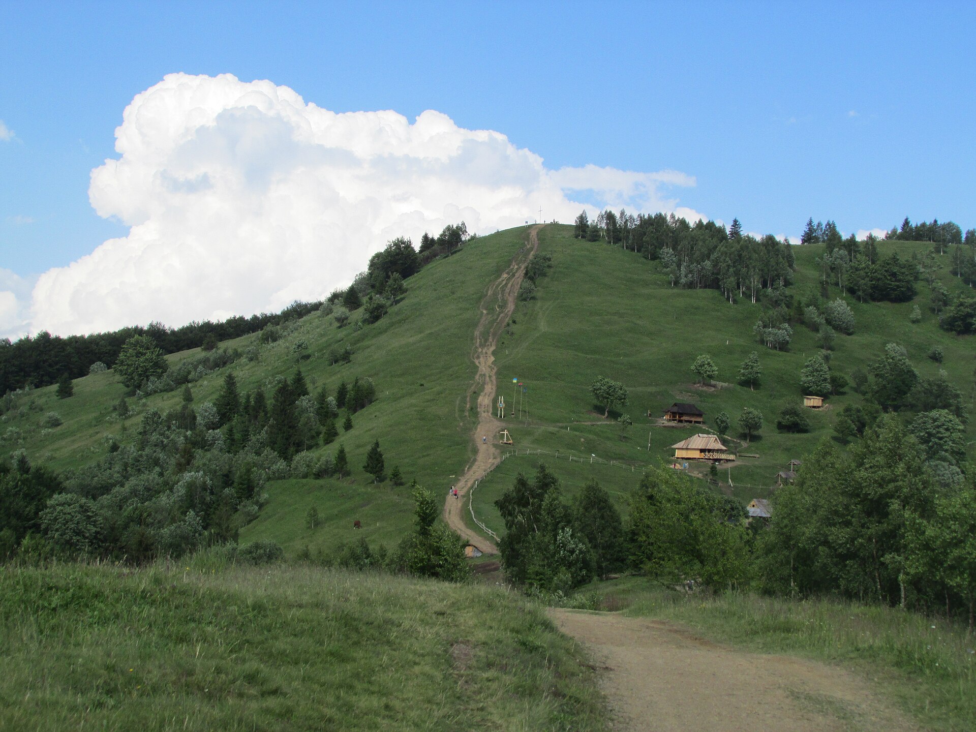
Khomiak
Khomiak mountain
Photo credits

Place photograph · visual context, not traversal evidence. Голяка Микола · CC BY-SA 4.0

Veredivskyi area → KhomiakKhomiak

Via Barania meadowVeredivskyi area → Khomiak

HikeActivity5.6 kmSource itineraryModerateDifficulty
Route notes & sources

Streamside switchbacks lead to a meadow, mountain pine and Khomiak’s rocky summit. The route begins in the Veredivskyi area.

Route notes describe the named stops; a GPS track is not stored.
Ukrainian CarpathiansGLERI route · official sources
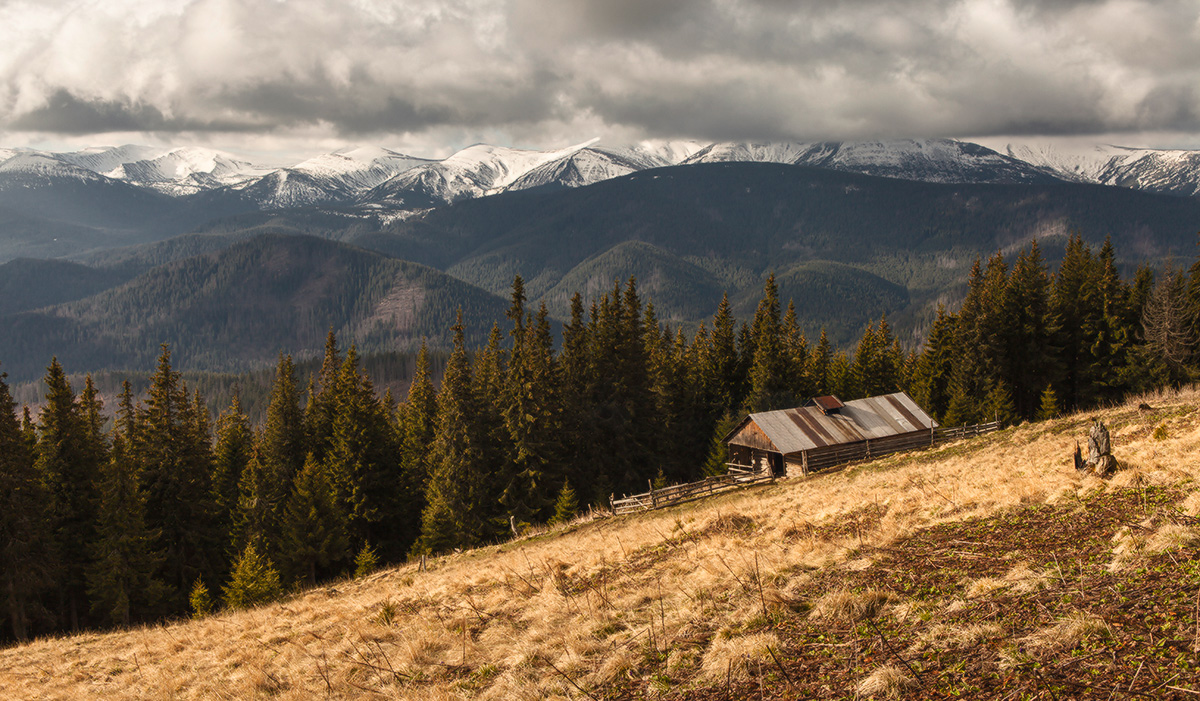
Dovbush trail
Rocks on the Dovbush trail in Yaremche
Photo credits

Place photograph · visual context, not traversal evidence. Mariia Kalmykova · CC BY-SA 4.0

Dovbush stone, trail entrance → Dovbush rocksDovbush trail

Via Dribka forest · Panshchyna clearingDovbush stone, trail entrance → Dovbush rocks

WalkActivity4 kmSource itineraryEasyDifficulty
Route notes & sources

A forest trail above the Prut valley, rock formations and the Panshchyna clearing. A nature walk at the edge of Yaremche.

Route notes describe the named stops; a GPS track is not stored.
Ukrainian CarpathiansGLERI route · official sources
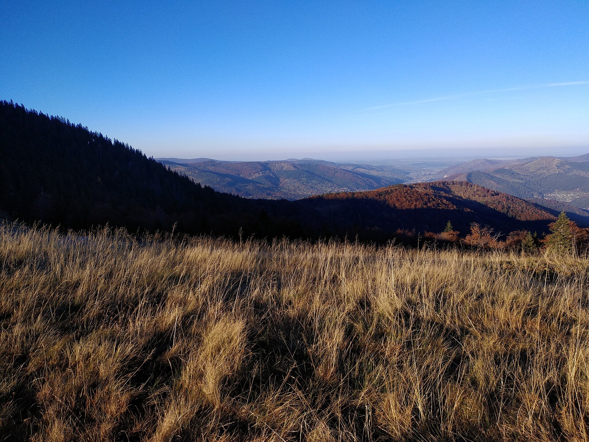
Makovytsia
Trail to Makovytsia
Photo credits

Place photograph · visual context, not traversal evidence. Максим Огородник · CC BY-SA 4.0

Checkpoint opposite Hutsulshchyna restaurant → MakovytsiaMakovytsia

Via Viewpoint · MeadowCheckpoint opposite Hutsulshchyna restaurant → Makovytsia

HikeActivity4 kmOne wayModerateDifficulty
Route notes & sources

An ascent from the checkpoint opposite Hutsulshchyna through forest and meadow to Makovytsia. Mountain views open as the trees fall away.

Route notes describe the named stops; a GPS track is not stored.
Ukrainian CarpathiansGLERI route · official sources
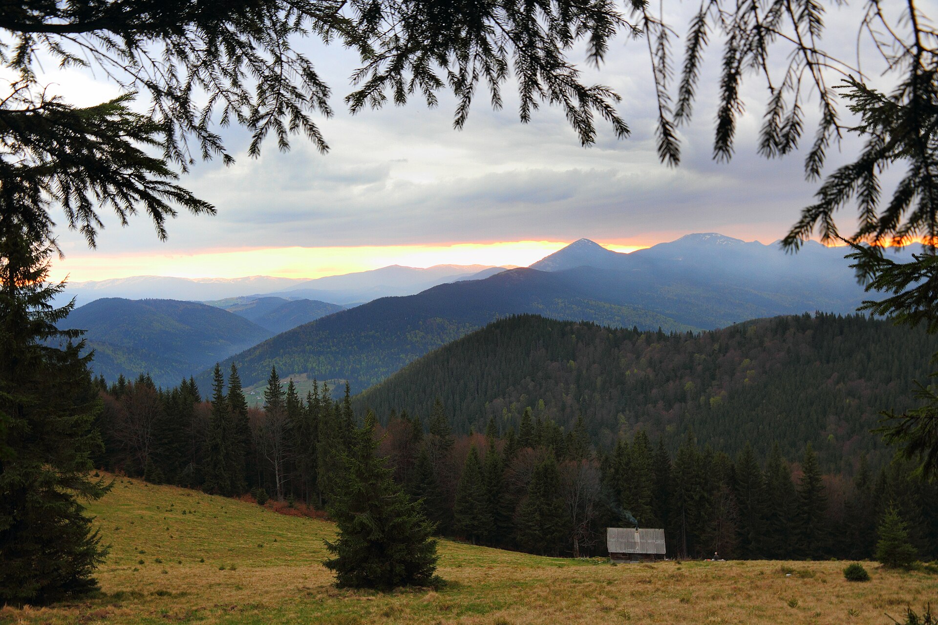
Zakukul
Zakukul meadow
Photo credits

Place photograph · visual context, not traversal evidence. Moahim · CC BY-SA 3.0

Zavoiela checkpoint → Zakukul meadowZakukul

Via Forest junctionZavoiela checkpoint → Zakukul meadow

HikeActivityModerateDifficulty
Route notes & sources

A forest ascent across a stream to a meadow facing Hoverla and Petros. Part of the approach is steep.

Route notes describe the named stops; a GPS track is not stored.
Ukrainian CarpathiansGLERI route · official sources
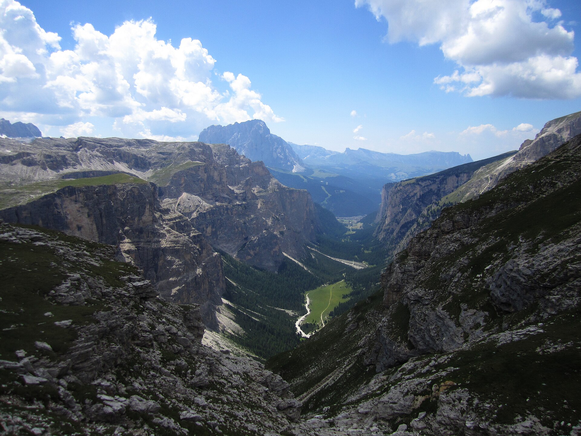
Yavirnyk
Yavirnyk meadow near Yaremche
Photo credits

Place photograph · visual context, not traversal evidence. Andryh2002 · CC BY-SA 4.0

Mykulychyn, Smerichka complex → Yavirnyk meadowYavirnyk

Via Svynianka meadow · KruhloyavirnykMykulychyn, Smerichka complex → Yavirnyk meadow

HikeActivityModerateDifficulty
Route notes & sources

From Mykulychyn through Svynianka and Kruhloyavirnyk to an open meadow. A day among Carpathian woods and grasslands.

Route notes describe the named stops; a GPS track is not stored.
Ukrainian CarpathiansGLERI route · official sources
Meadows above Mykulychyn
Khomiak seen from Yahidna
Photo credits

Place photograph · visual context, not traversal evidence. Віталій Попков · CC BY-SA 4.0

Mykulychyn bus station → Lisnovy meadowMeadows above Mykulychyn

Via Pidlisniv nursery · Yahidnyi meadowMykulychyn bus station → Lisnovy meadow

HikeActivityModerateDifficulty
Route notes & sources

Climb out of the valley through forest towards the Yahidnyi, Lisnovy and Kuniklyva meadows. The open uplands are the reward.

Route notes describe the named stops; a GPS track is not stored.
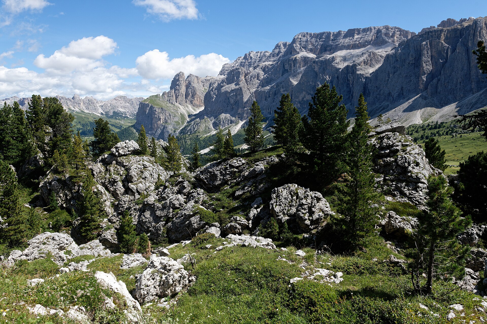
DolomitesGLERI route · official sources
Vallunga
Vallunga seen from the Puez group
Photo credits

Place photograph · visual context, not traversal evidence. Coca-Coela · CC BY-SA 4.0

Vallunga parking → Vallunga parkingVallunga

Via St Silvester chapel · Vallunga meadowsVallunga parking → Vallunga parking

WalkActivity7.5 kmIncluding returnEasyDifficulty
Route notes & sources

Trail 14 leads past St Silvester’s chapel through woodland and meadows into the long valley. Return along the same path.

Route notes describe the named stops; a GPS track is not stored.
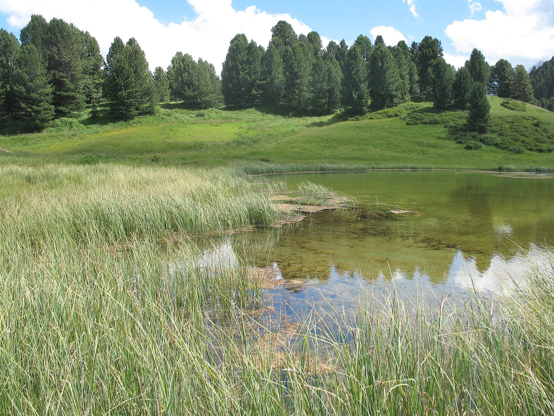
DolomitesGLERI route · official sources
Stone City
Stone City below Sassolungo
Photo credits

Place photograph · visual context, not traversal evidence. Marie-Lan Taÿ Pamart · CC BY 4.0

Passo Sella → Città dei Sassi / Stone CityStone City

Direct route notesPasso Sella → Città dei Sassi / Stone City

WalkActivityEasyDifficulty
Route notes & sources

A nature trail among huge boulders near Passo Sella, introducing the landscape and plants below Sassolungo’s cliffs.

Route notes describe the named stops; a GPS track is not stored.
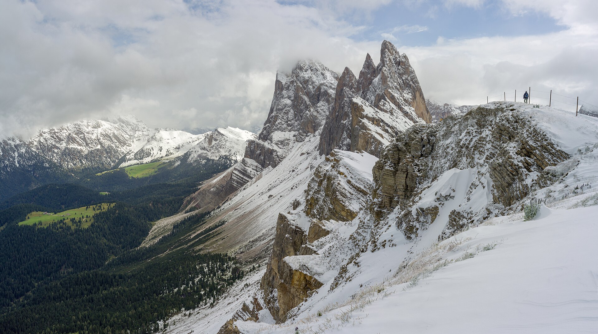
DolomitesGLERI route · official sources
Lech Sant
Lech Sant lake
Photo credits

Place photograph · visual context, not traversal evidence. Wolfgang Moroder · CC BY-SA 3.0

Cristauta parking → Cristauta parkingLech Sant

Via Troi dla Schirlates · Lech SantCristauta parking → Cristauta parking

HikeActivity7.7 kmFull loopEasyDifficulty
Route notes & sources

From Cristauta along the squirrel trail to small lakes and Lech Sant. Woodland alternates with open alpine meadows.

Route notes describe the named stops; a GPS track is not stored.
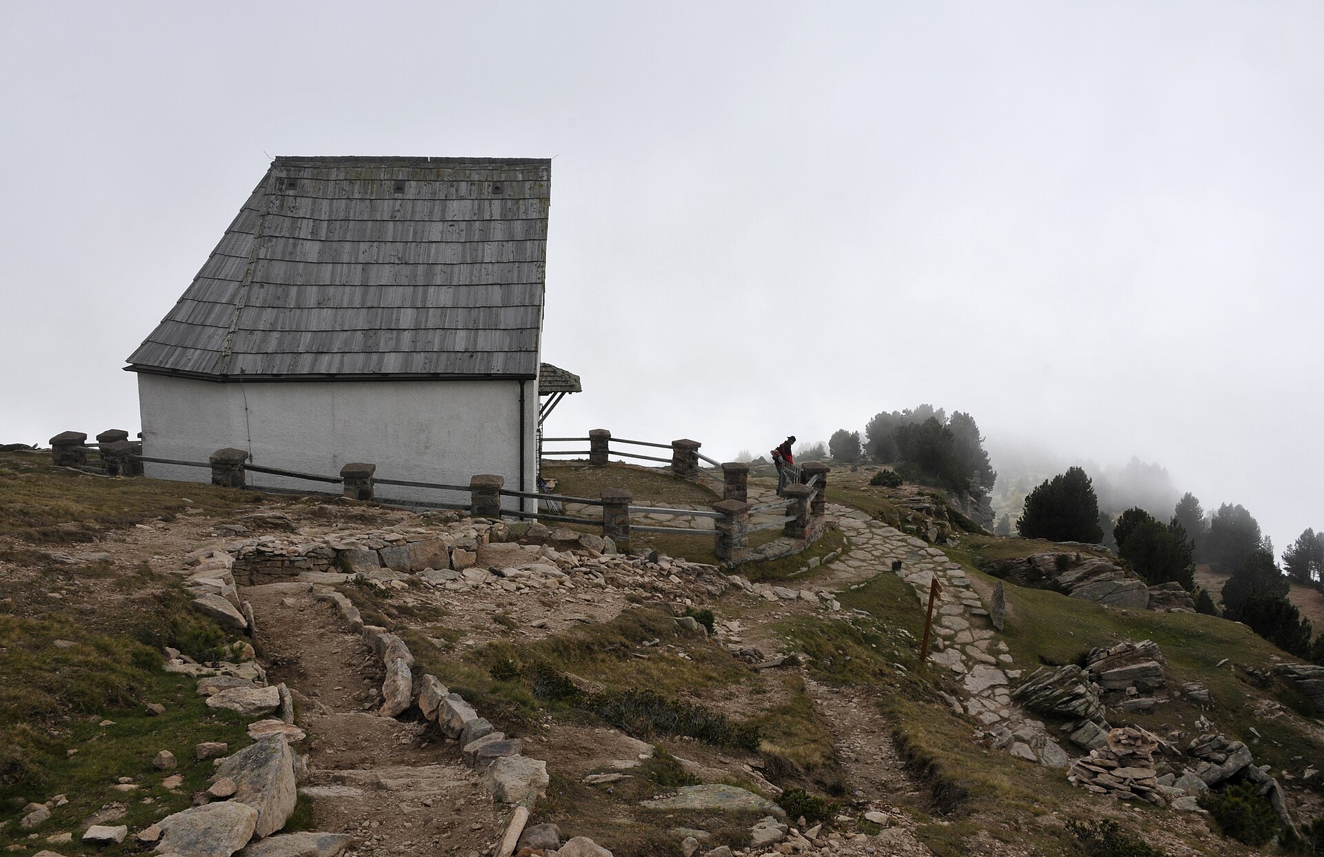
DolomitesGLERI route · official sources

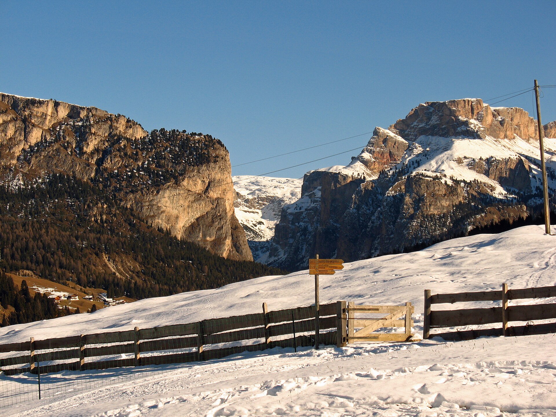
Col Raiser mountain station → Col Raiser mountain stationOdle

Via Mastlé UNESCO terrace · Pieralongia +1Col Raiser mountain station → Col Raiser mountain station

HikeActivity8 kmFull loopModerateDifficulty
Route notes & sources

A panoramic circuit via the World Heritage terrace, Pieralongia and Seceda, with the Odle towers above the meadows.

Route notes describe the named stops; a GPS track is not stored.
DolomitesGLERI route · official sources

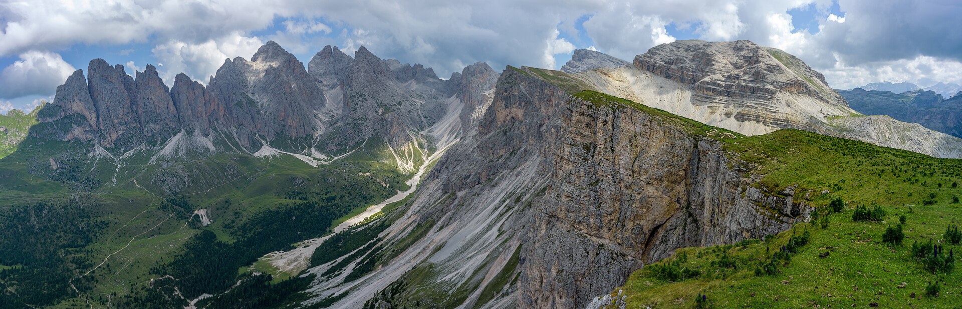
Furnes middle station → Holy Cross chapel, ResciesaResciesa

Via Cason / Saltner hutFurnes middle station → Holy Cross chapel, Resciesa

HikeActivity4.8 kmOne wayModerateDifficulty
Route notes & sources

Climb from the Furnes middle station through woodland to the high chapel, following trails 9 and 35 past Cason hut.

Route notes describe the named stops; a GPS track is not stored.
DolomitesGLERI route · official sources
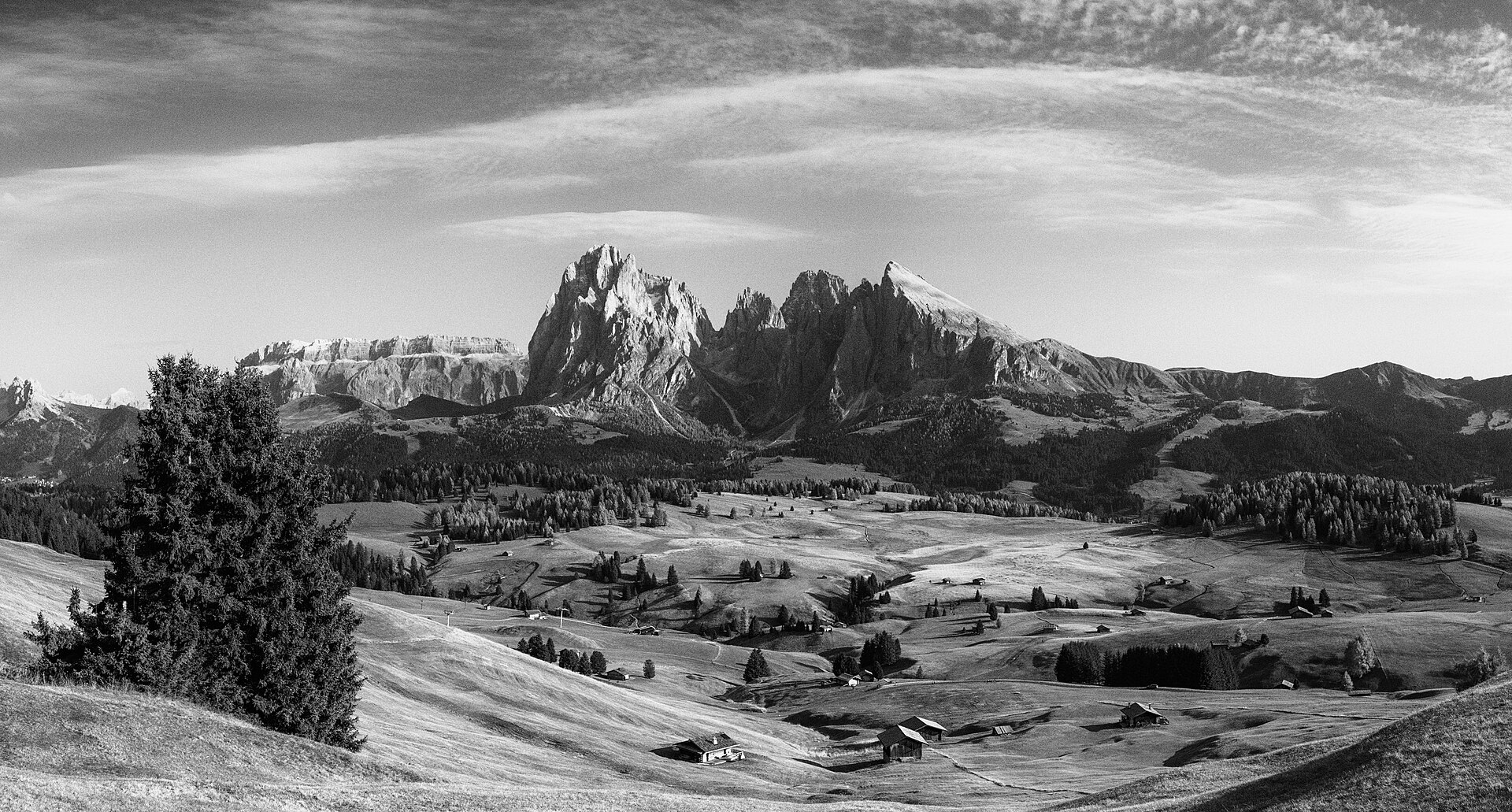
Monte Pana
View from Monte Pana
Photo credits

Place photograph · visual context, not traversal evidence. Moroder · CC BY-SA 3.0

Monte Pana parking → Monte Pana parkingMonte Pana

Via Monte Pana chapel · Water biotope +1Monte Pana parking → Monte Pana parking

Alpine meadows and natural play stops in one short loop.

WalkActivity2.6 kmFull loopEasyDifficulty
Route notes & sources

Meadows, natural play stations and a small biotope at Monte Pana. A short loop when you want time outside without a long mountain crossing.

Route notes describe the named stops; a GPS track is not stored.
DolomitesGLERI route · official sources

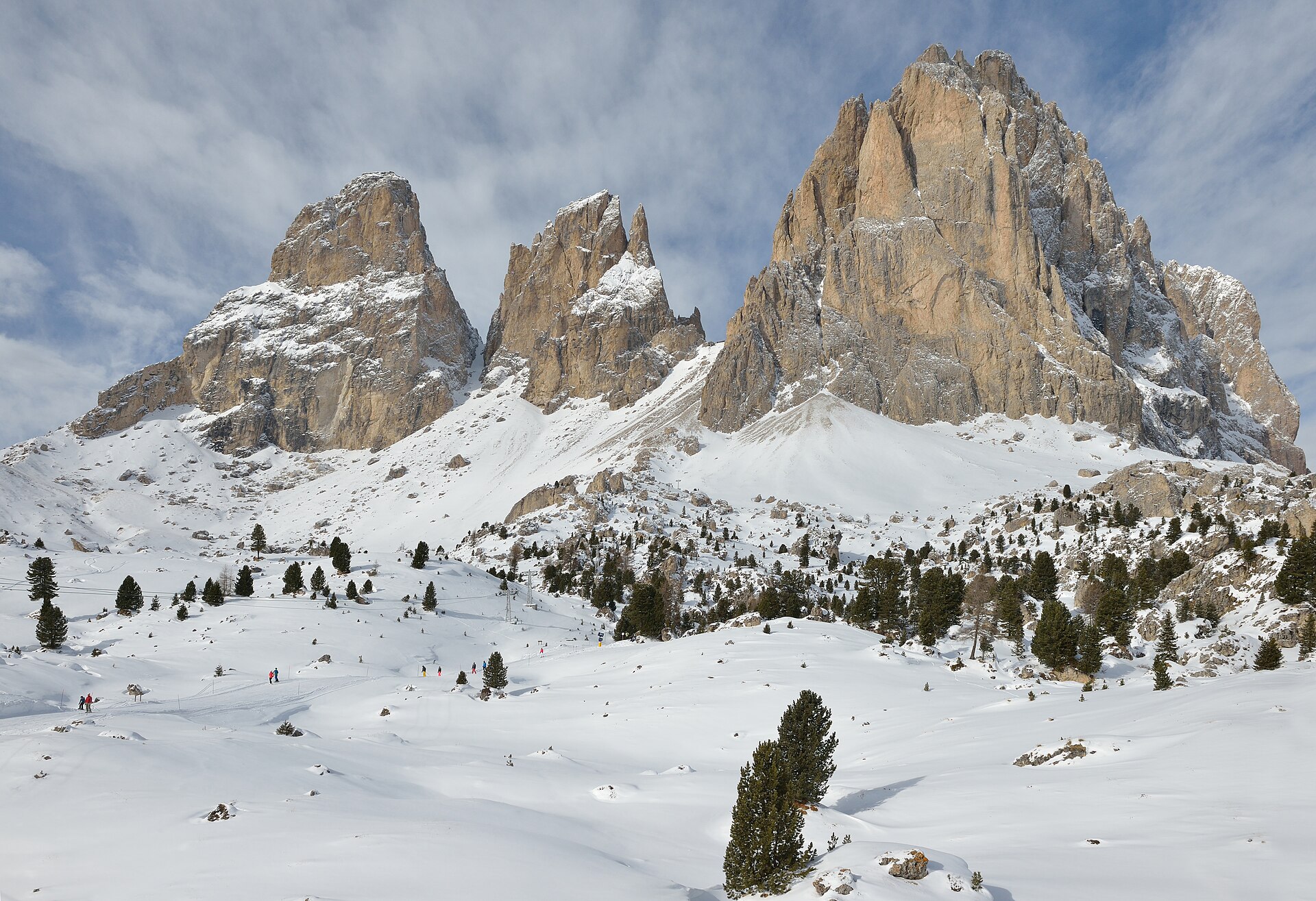
Col Raiser mountain station → Col Raiser valley stationStevia

Via Rifugio Firenze · Forcella Piza +2Col Raiser mountain station → Col Raiser valley station

HikeActivity10 kmOne wayHardDifficulty
Route notes & sources

From Col Raiser’s upper station via Rifugio Firenze and the pass to Stevia pasture. Descend through Juac to the lower station.

Route notes describe the named stops; a GPS track is not stored.
DolomitesGLERI route · official sources
Alpe di Siusi
Alpe di Siusi meadows
Photo credits

Place photograph · visual context, not traversal evidence. Eric Kilby · CC BY-SA 2.0

Seiser Alm mountain station → Seiser Alm mountain stationAlpe di Siusi

Via Tirler · Goldknopf +3Seiser Alm mountain station → Seiser Alm mountain station

HikeActivity20.7 kmFull loopEasyDifficulty
Route notes & sources

A day across the alpine plateau via Tirler, Goldknopf, Compatsch and Sanon. Despite the source’s easy rating, this is a long 20.7 km outing.

Route notes describe the named stops; a GPS track is not stored.
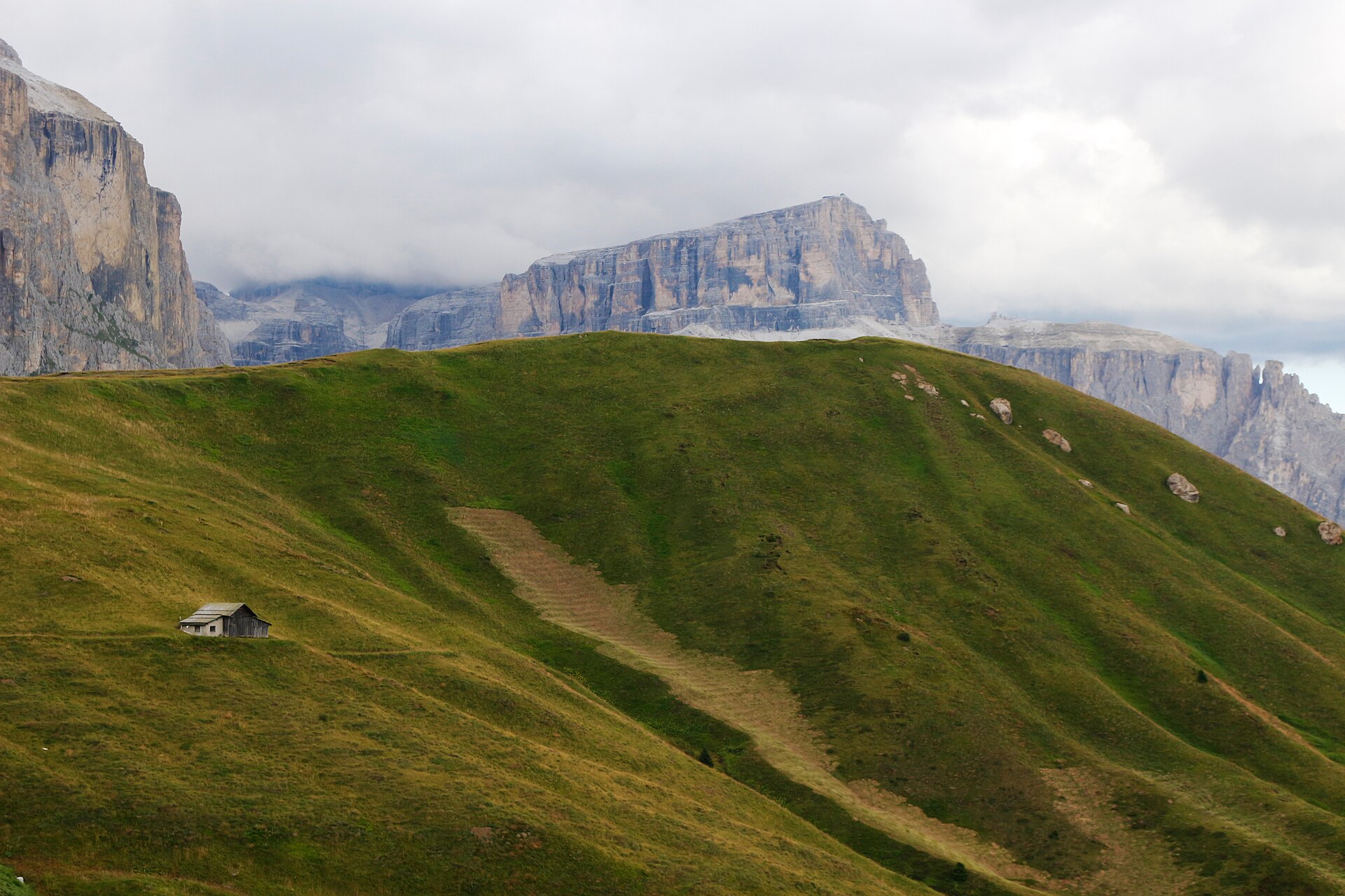
DolomitesGLERI route · official sources

Mont Sëura mountain station → Mont SëuraSassolungo

Via Rifugio Comici · Città dei Sassi +4Mont Sëura mountain station → Mont Sëura

HikeActivity17.4 kmFull loopHardDifficulty
Route notes & sources

A full mountain day from Mont Sëura via Comici, Stone City, Passo Sella and the huts below Sassopiatto.

Route notes describe the named stops; a GPS track is not stored.
DolomitesGLERI route · official sources
Passo Sella
Mountains at Passo Sella
Photo credits

Place photograph · visual context, not traversal evidence. Pacio ph · CC BY-SA 4.0

Mont Sëura mountain station → Passo SellaPasso Sella

Via Trails 528 / 526Mont Sëura mountain station → Passo Sella

HikeActivity4.7 kmOne wayEasyDifficulty
Route notes & sources

The walking section from the upper station above Monte Pana to Passo Sella, beneath Sassolungo through rocks and mountain pine.

Route notes describe the named stops; a GPS track is not stored.
CzechiaGLERI route · official sources
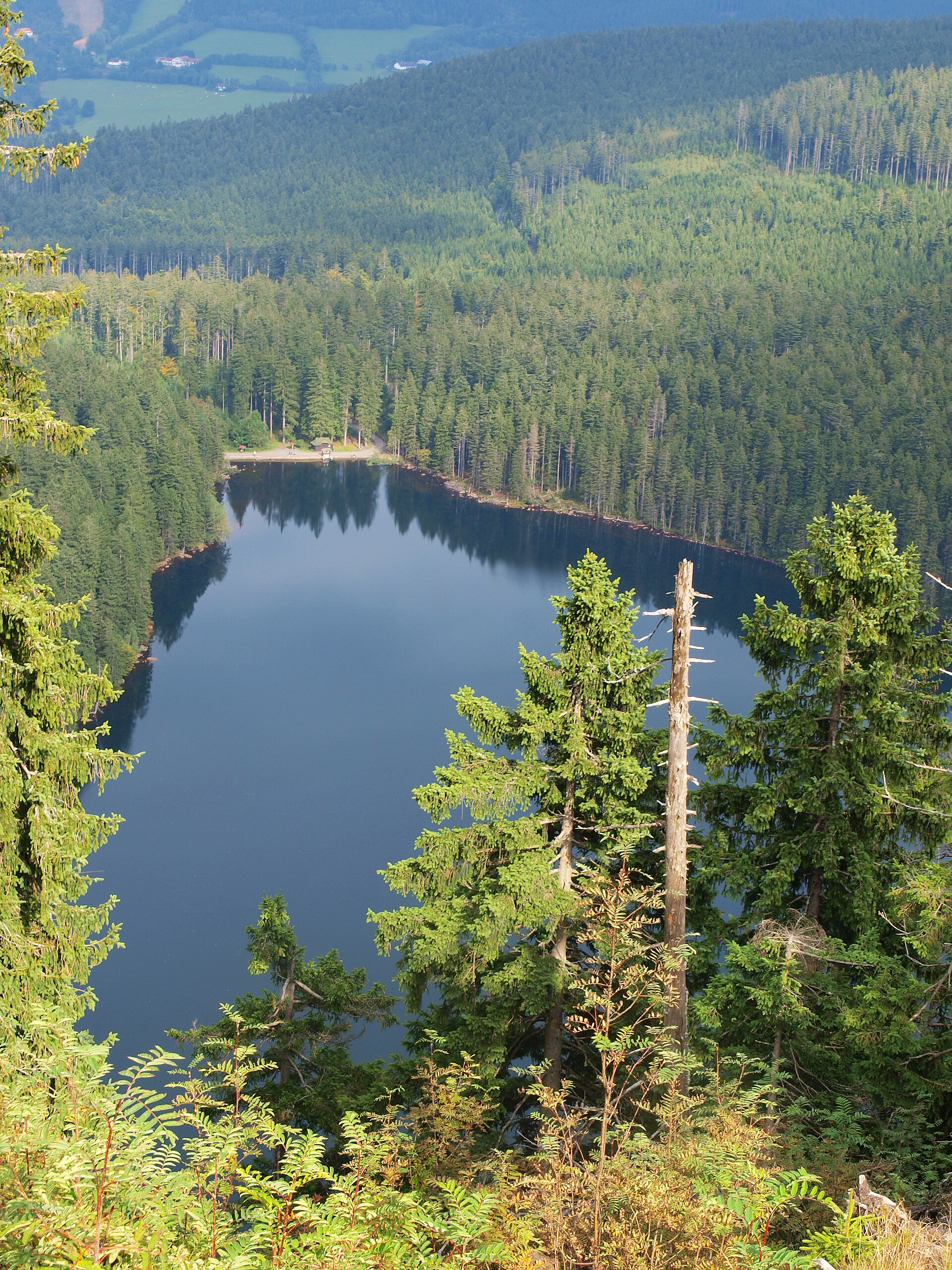
Laka
Lake Laka in Šumava
Photo credits

Place photograph · visual context, not traversal evidence. David Sedlecký · CC BY-SA 3.0

Železná Ruda → Nová HůrkaLaka

Via Debrník · Polom +2Železná Ruda → Nová Hůrka

HikeActivity14 kmOne wayHardDifficulty
Route notes & sources

A forest crossing from Železná Ruda via Debrník and Polom to a glacial lake. Finish at Nová Hůrka for the source’s suggested bus return.

Route notes describe the named stops; a GPS track is not stored.
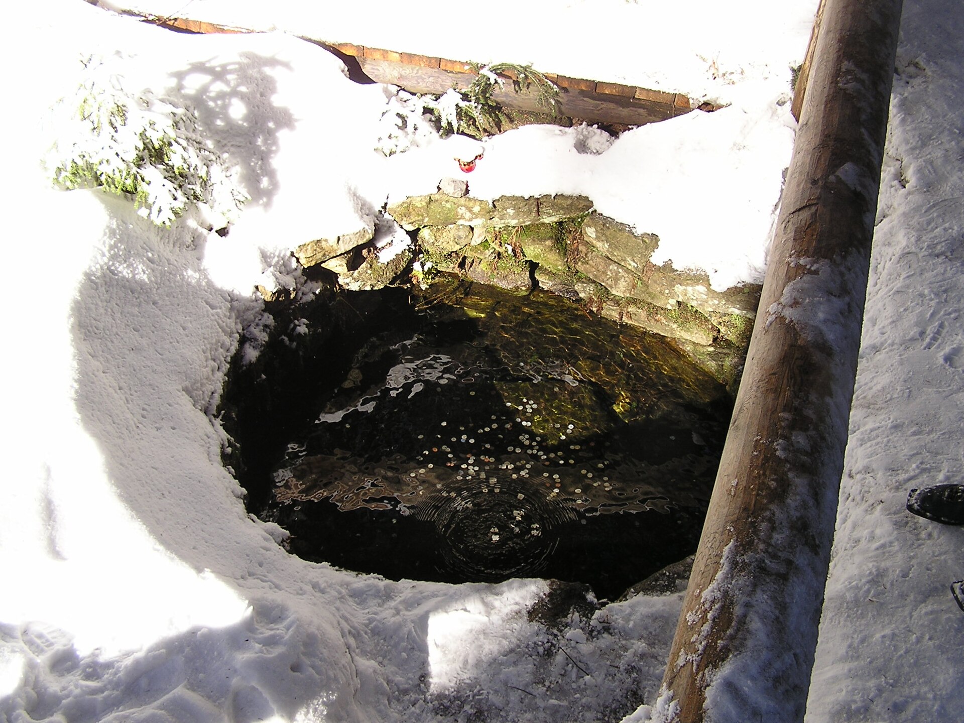
CzechiaGLERI route · official sources
Černé & Čertovo
Černé jezero from the cirque wall
Photo credits

Place photograph · visual context, not traversal evidence. Mgr. Zdeněk Kubeš · CC BY-SA 3.0

Špičácké sedlo → Špičácké sedloČerné & Čertovo

Via Černé jezero · Čertovo jezeroŠpičácké sedlo → Špičácké sedlo

HikeActivityModerateDifficulty
Route notes & sources

Two glacial lakes in the forest, starting at Špičácké sedlo. Reserve trails connect dark water and steep wooded slopes.

Route notes describe the named stops; a GPS track is not stored.
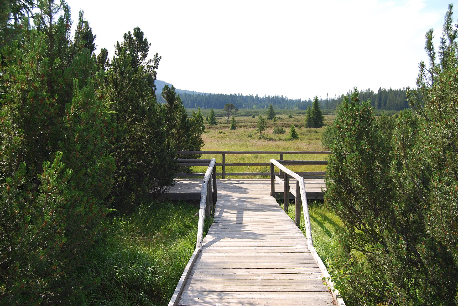
CzechiaGLERI route · official sources
Vltava source
Vltava source
Photo credits

Place photograph · visual context, not traversal evidence. JAn Dudík · Public domain

Kvilda → KvildaVltava source

Via Pramen Vltavy · BučinaKvilda → Kvilda

HikeActivity16 kmFull loopModerateDifficulty
Route notes & sources

A forest circuit to the Vltava’s source area, climbing to Bučina. The return section to Kvilda follows a paved road.

Route notes describe the named stops; a GPS track is not stored.
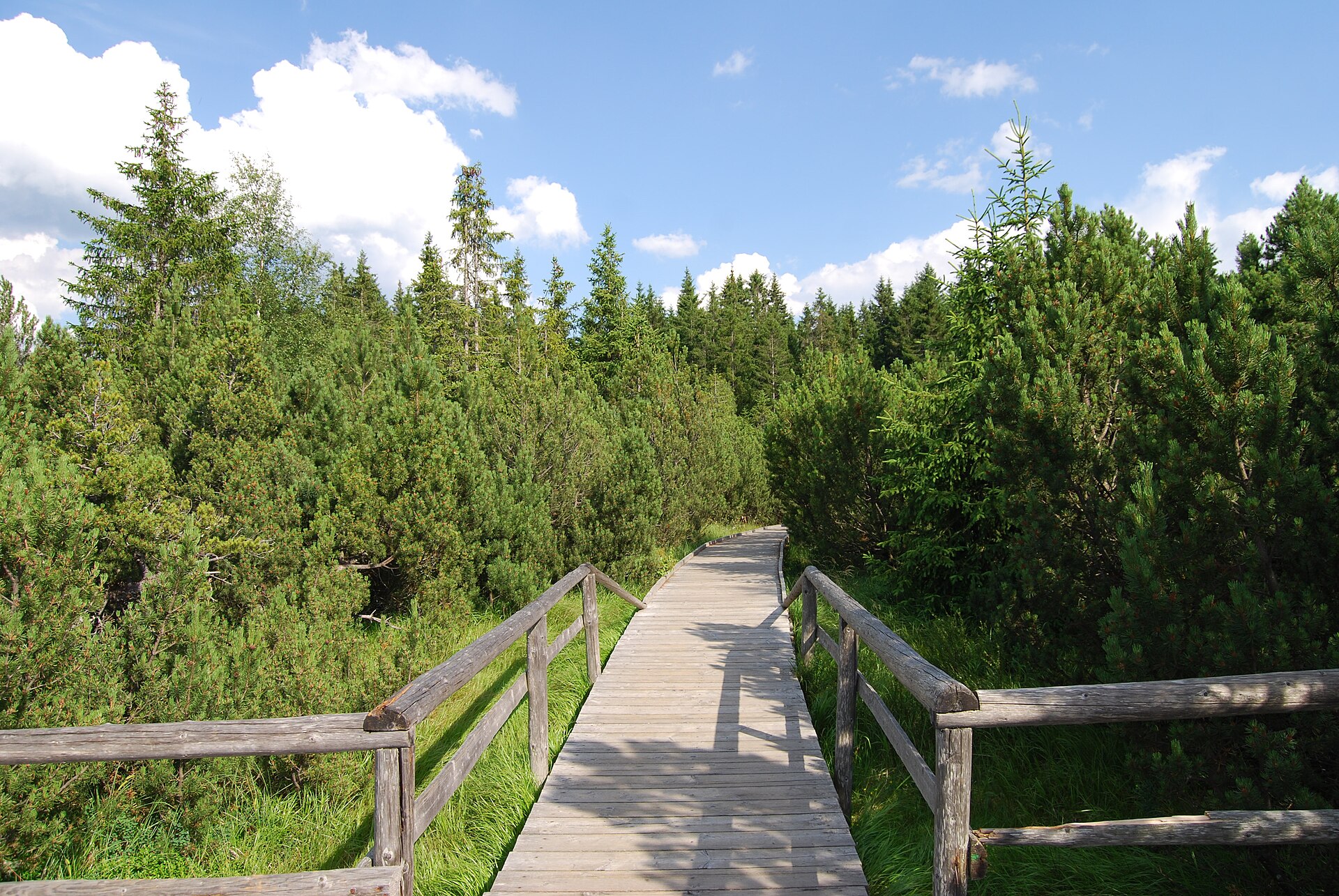
CzechiaGLERI route · official sources
Jezerní slať
Jezerní slať peat bog
Photo credits

Place photograph · visual context, not traversal evidence. Richenza · CC BY-SA 3.0

Jezerní slať parking → Jezerní slať viewpointJezerní slať

Via BoardwalkJezerní slať parking → Jezerní slať viewpoint

See an unusual peat-bog landscape without a long hike.

WalkActivity0.5 kmSource itineraryEasyDifficulty
Route notes & sources

A sandy path from the parking area becomes a wooden boardwalk over the peat bog. A short stop in Šumava’s open landscape.

Route notes describe the named stops; a GPS track is not stored.
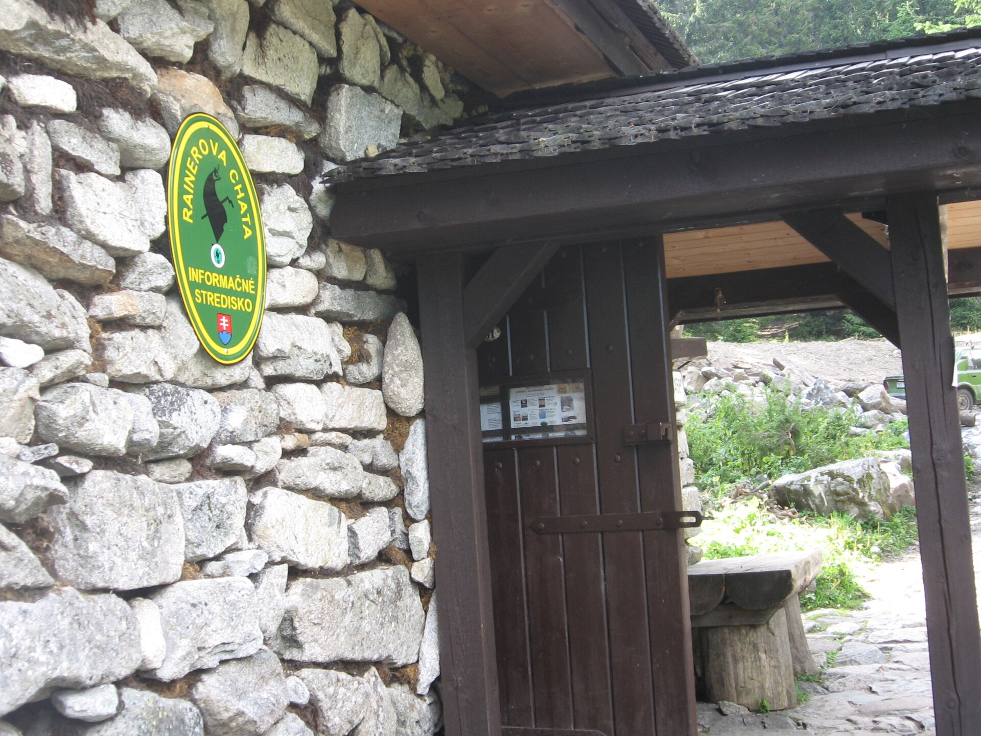
CzechiaGLERI route · official sources
Šumava circuit
View across Jezerní slať
Photo credits

Place photograph · visual context, not traversal evidence. Richenza · CC BY-SA 3.0

Kvilda → KvildaŠumava circuit

Via Jezerní slať · Horská Kvilda +1Kvilda → Kvilda

HikeActivity15.5 kmFull loopModerateDifficulty
Route notes & sources

A full hike from Kvilda via the bog, Horská Kvilda and Filipova Huť. The short boardwalk is just one stop along the way.

Route notes describe the named stops; a GPS track is not stored.
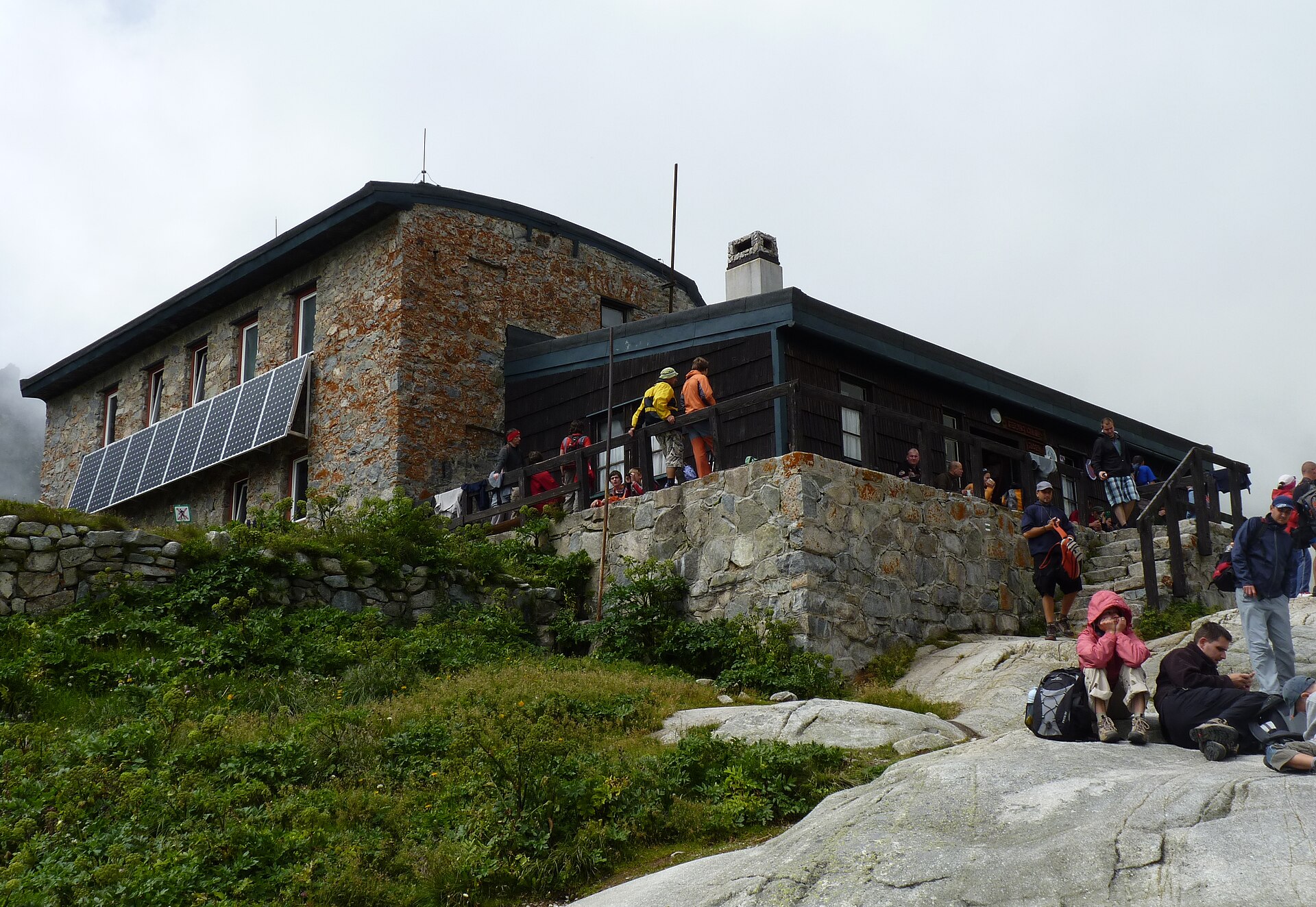
SlovakiaGLERI route · official sources
Rainerova chata
Rainerova chata in the High Tatras
Photo credits

Place photograph · visual context, not traversal evidence. Bubamara · CC BY 2.5

Hrebienok → HrebienokRainerova chata

Via Rainerova útulňa · Vodopády Studeného potokaHrebienok → Hrebienok

WalkActivity4 kmFull loop
Route notes & sources

An educational trail from Hrebienok via Rainerova hut to the Studený potok waterfalls, returning to the start.

Route notes describe the named stops; a GPS track is not stored.
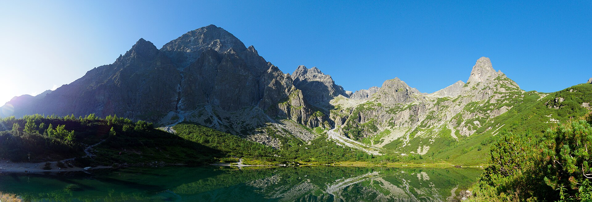
SlovakiaGLERI route · official sources
Téryho hut
Téryho hut in Malá Studená valley
Photo credits

Place photograph · visual context, not traversal evidence. Michal Klajban · CC BY-SA 3.0

Starý Smokovec → Téryho chataTéryho hut

Via Hrebienok · Obrovský vodopád +1Starý Smokovec → Téryho chata

HikeActivity
Route notes & sources

Climb from Starý Smokovec via Hrebienok and Zamkovského hut to the high mountain refuge by the Five Spiš tarns.

Route notes describe the named stops; a GPS track is not stored.
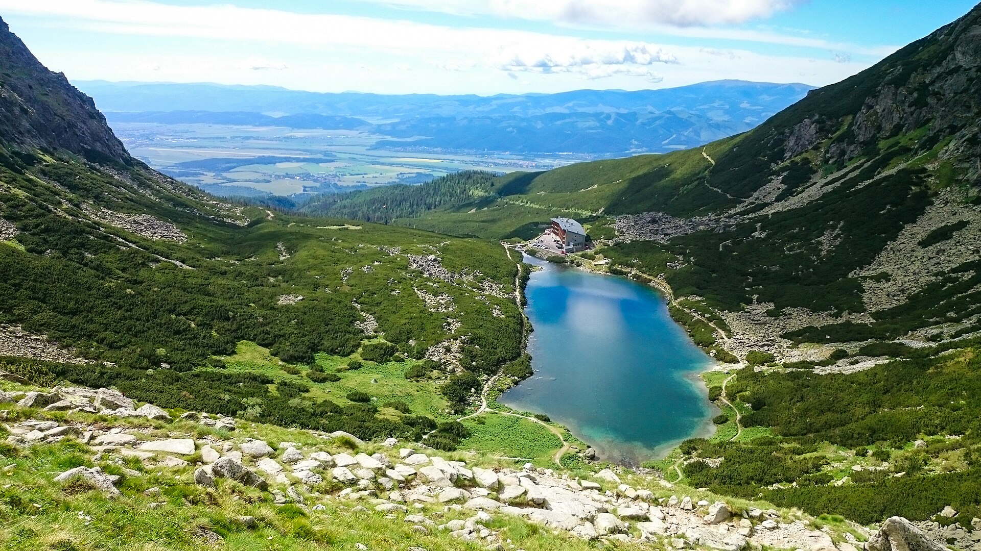
SlovakiaGLERI route · official sources
Zelené pleso
Zelené pleso Kežmarské
Photo credits

Place photograph · visual context, not traversal evidence. Rafał Kozubek · CC BY-SA 4.0

Biela voda bus stop → Chata pri Zelenom pleseZelené pleso

Via Zelené plesoBiela voda bus stop → Chata pri Zelenom plese

HikeActivity
Route notes & sources

Approach from the Biela voda bus stop to the green lake and hut beneath the Tatra walls. The official description suggests about three hours outward.

Route notes describe the named stops; a GPS track is not stored.
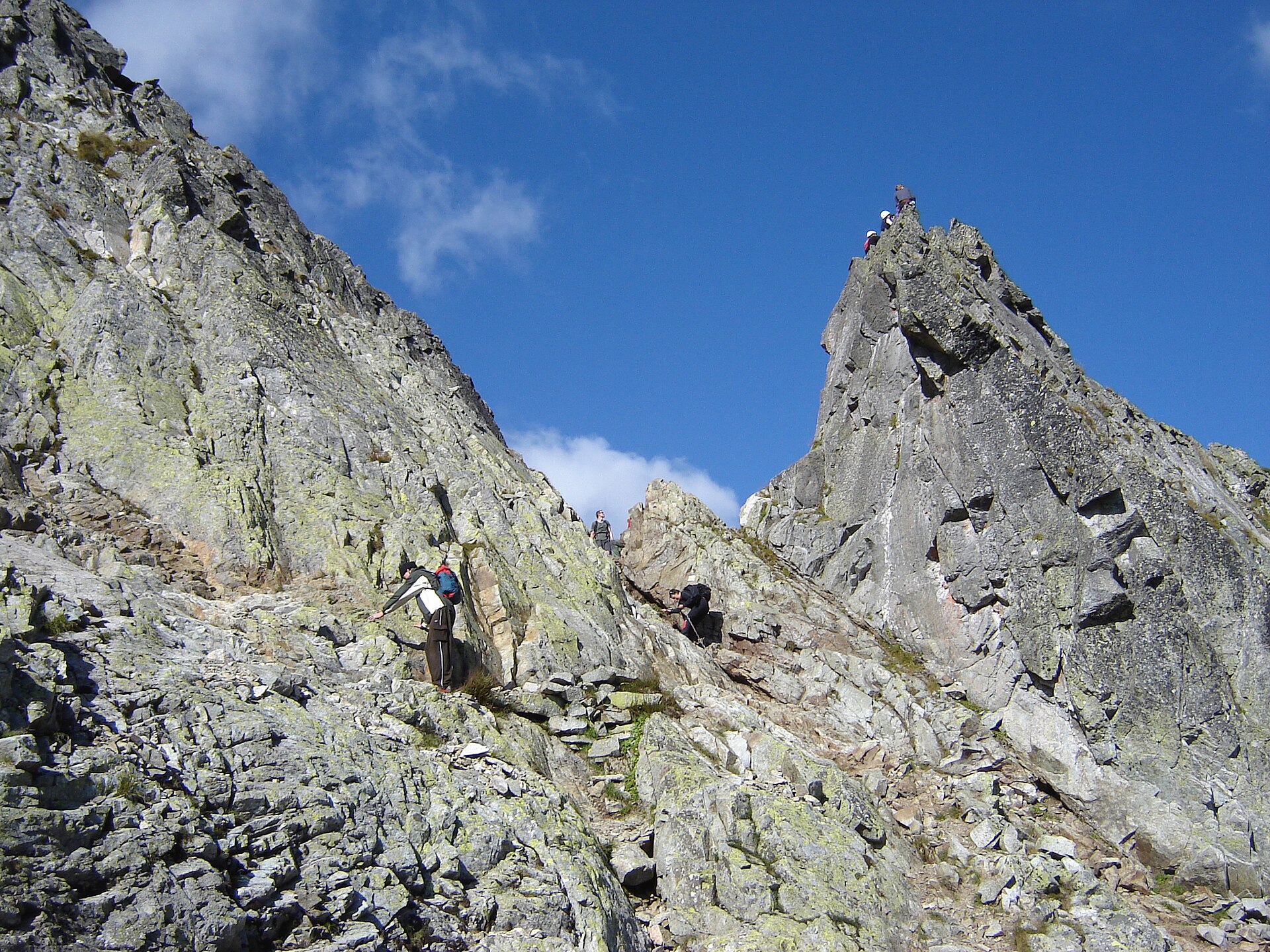
SlovakiaGLERI route · official sources
Velické pleso
Velické pleso and Sliezsky dom
Photo credits

Place photograph · visual context, not traversal evidence. Jakub Krajňák · CC BY-SA 4.0

Tatranská Polianka station → Tatranská Polianka stationVelické pleso

Via Velický Most · Velická Poľana +1Tatranská Polianka station → Tatranská Polianka station

A mountain-lake hike beginning right by the railway.

HikeActivity9 kmIncluding return
Route notes & sources

From the railway stop, follow the green forest trail via Velická Poľana to Sliezsky dom beside the lake. Return along the same path.

Route notes describe the named stops; a GPS track is not stored.
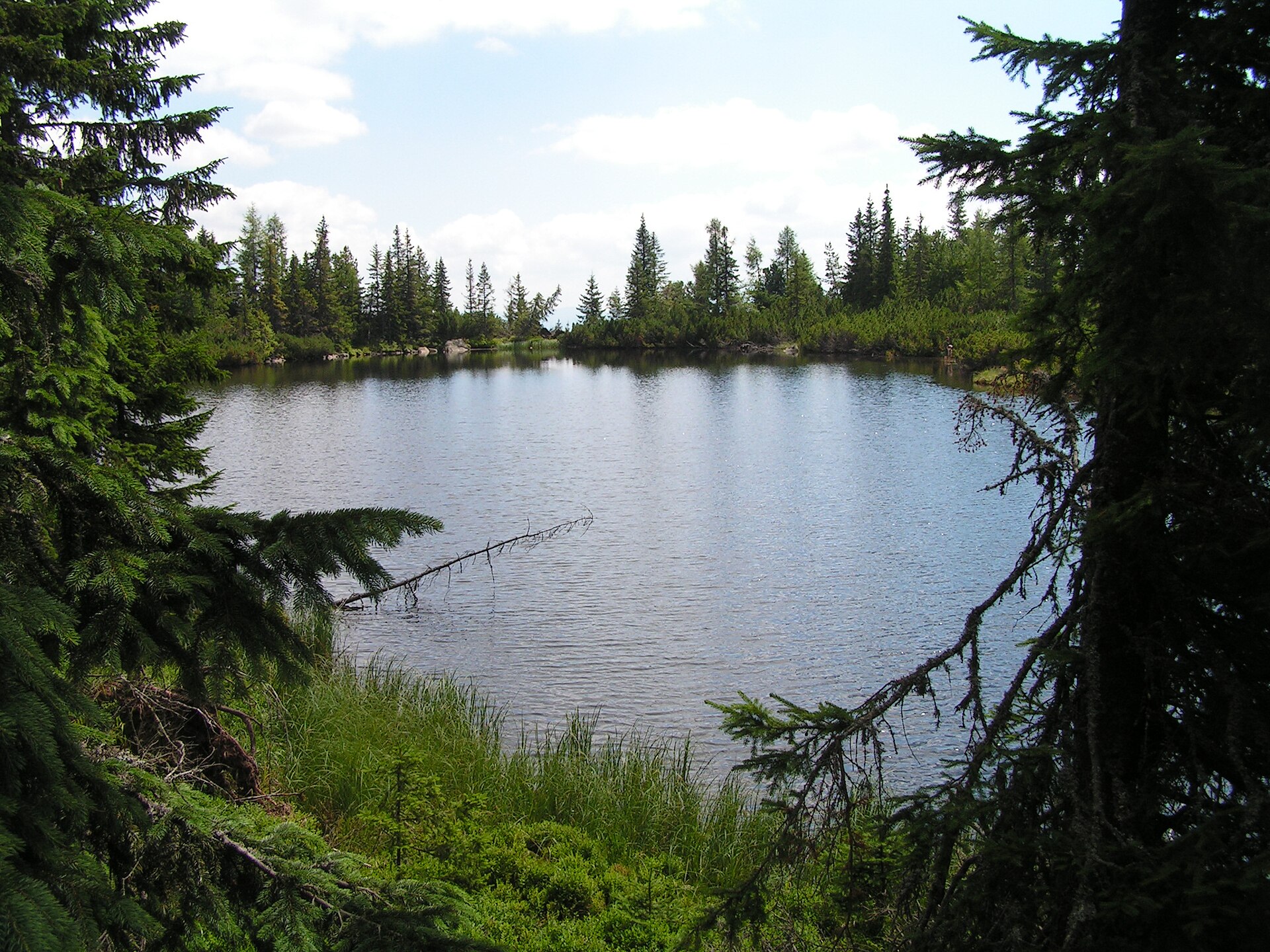
SlovakiaGLERI route · official sources
Priečne sedlo
Priečne sedlo from Veľká Studená valley
Photo credits

Place photograph · visual context, not traversal evidence. Branork · CC BY-SA 2.5

Starý Smokovec → Starý SmokovecPriečne sedlo

Via Hrebienok · Zamkovského chata +4Starý Smokovec → Starý Smokovec

HikeActivity21.9 kmFull loopHardDifficulty
Route notes & sources

A long high mountain circuit from Starý Smokovec through two valleys and the pass between Téryho and Zbojnícka huts. For experienced hikers.

Route notes describe the named stops; a GPS track is not stored.
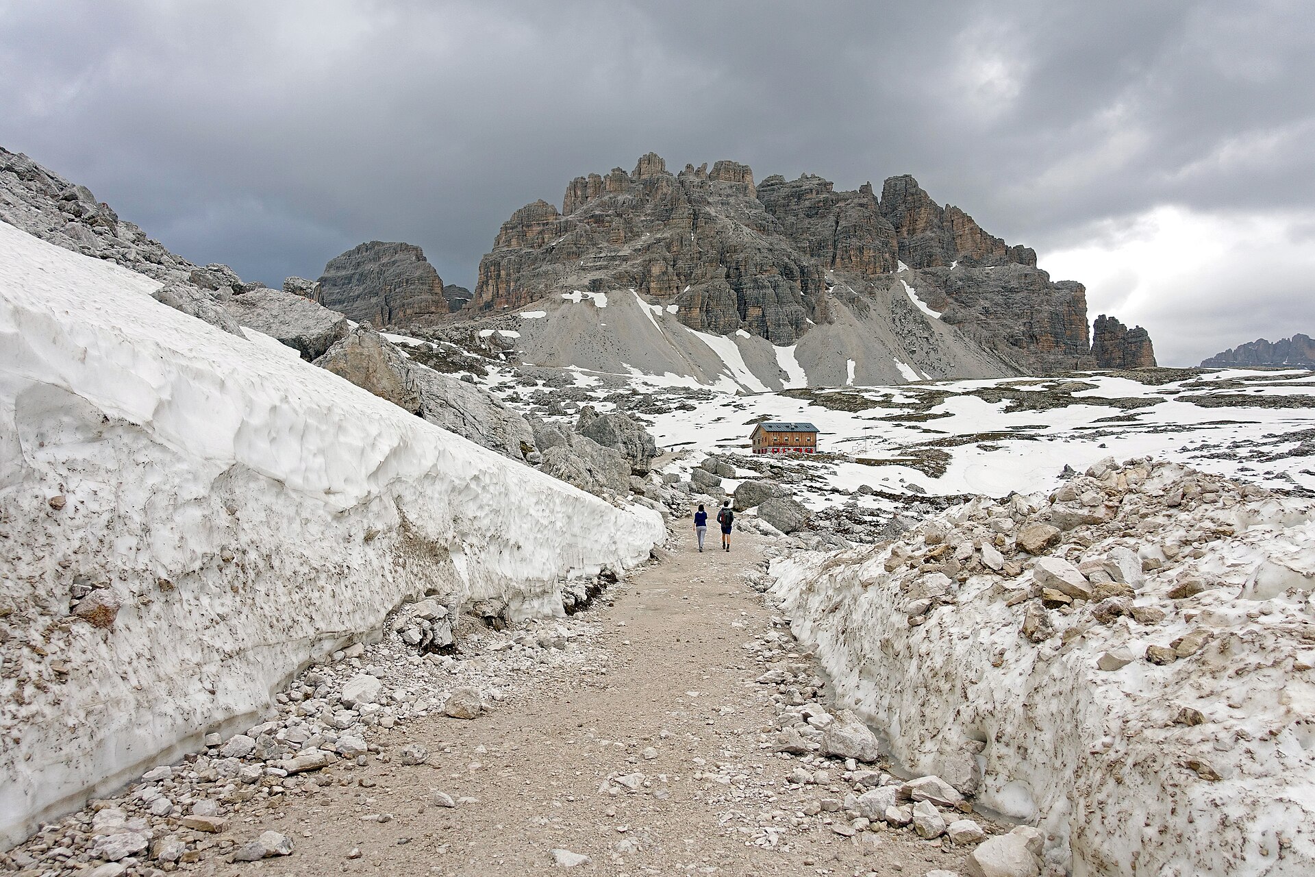
SlovakiaGLERI route · official sources
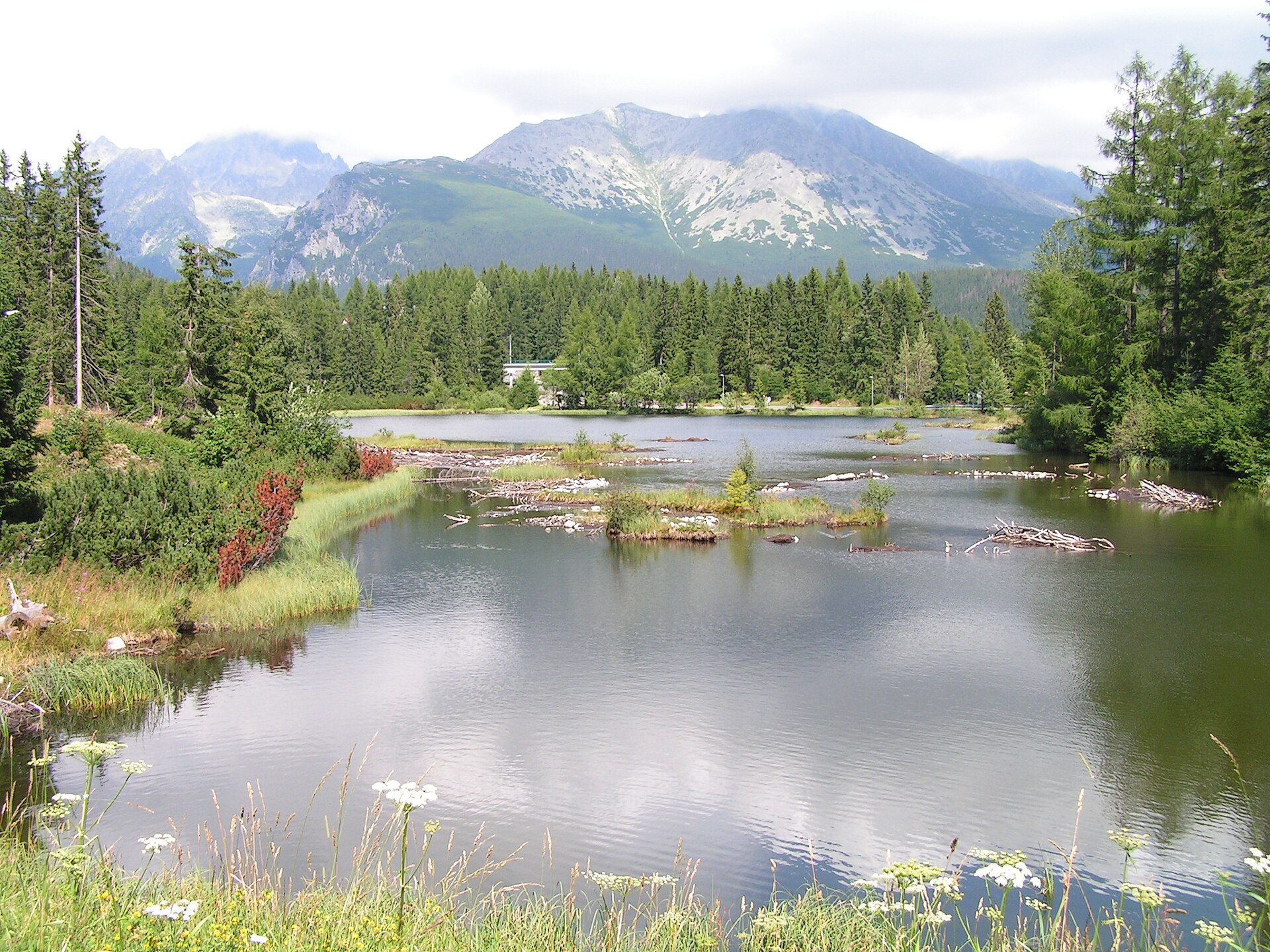
Jamské pleso
Jamské pleso in the High Tatras
Photo credits

Place photograph · visual context, not traversal evidence. Hugo · Public domain

Štrbské Pleso → Jamské plesoJamské pleso

Via Rázcestie pod Furkotskou dolinouŠtrbské Pleso → Jamské pleso

A forest trail to a lake for those who want to give the mountains half a day.

HikeActivityEasyDifficulty
Route notes & sources

A GLERI editorial route following the clean official description published by the Štrbské Pleso regional tourism organisation.

Route notes describe the named stops; a GPS track is not stored.
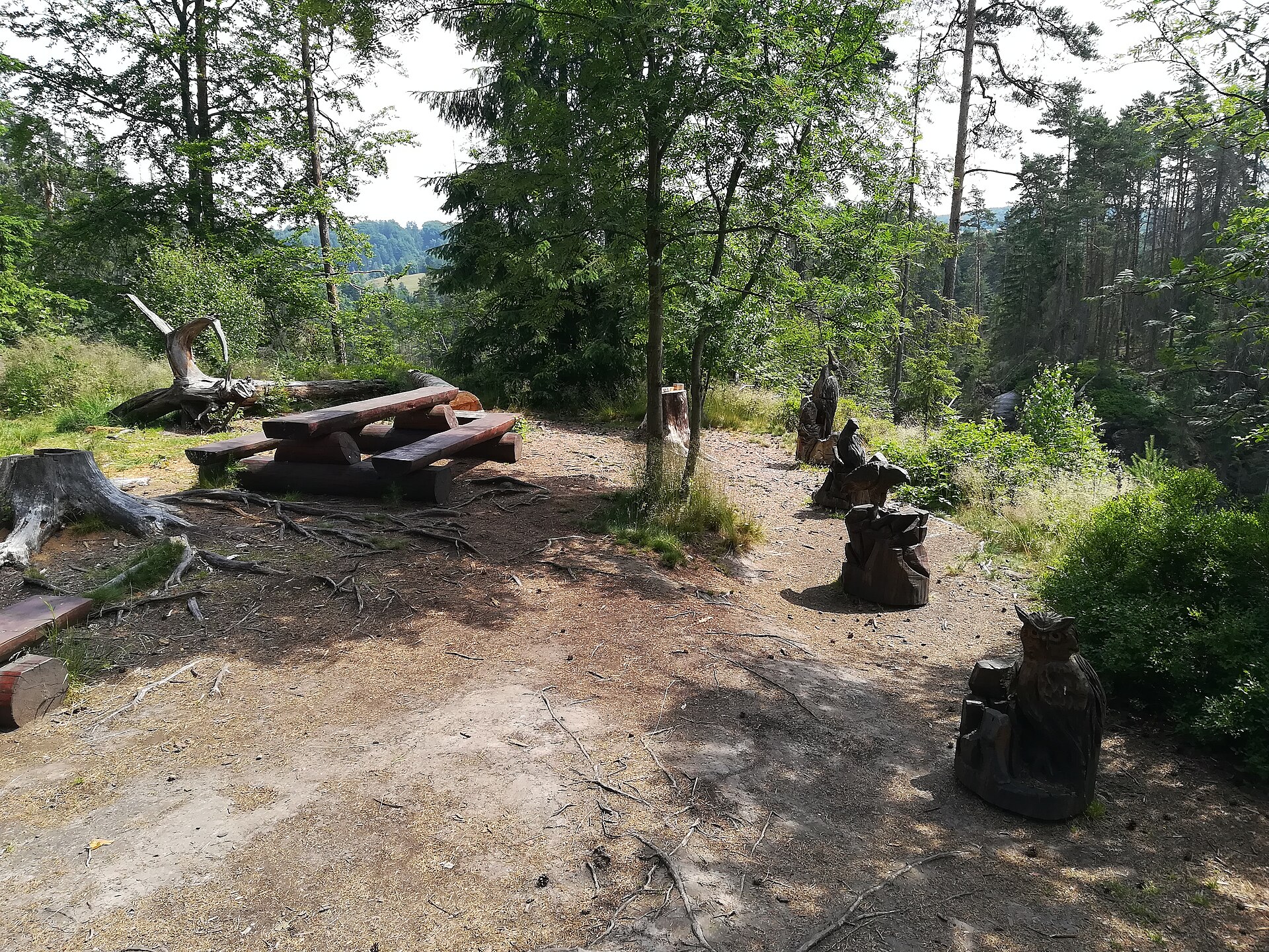
DolomitesGLERI route · official sources
Rifugio Lavaredo
Trail to Rifugio Lavaredo beneath Tre Cime
Photo credits

Place photograph · visual context, not traversal evidence. Tiia Monto · CC BY-SA 3.0

Rifugio Auronzo → Rifugio LavaredoRifugio Lavaredo

Via CAI 104Rifugio Auronzo → Rifugio Lavaredo

HikeActivityEasyDifficulty
Route notes & sources

An official summer description following CAI 104 from Rifugio Auronzo to Rifugio Lavaredo.

Route notes describe the named stops; a GPS track is not stored.
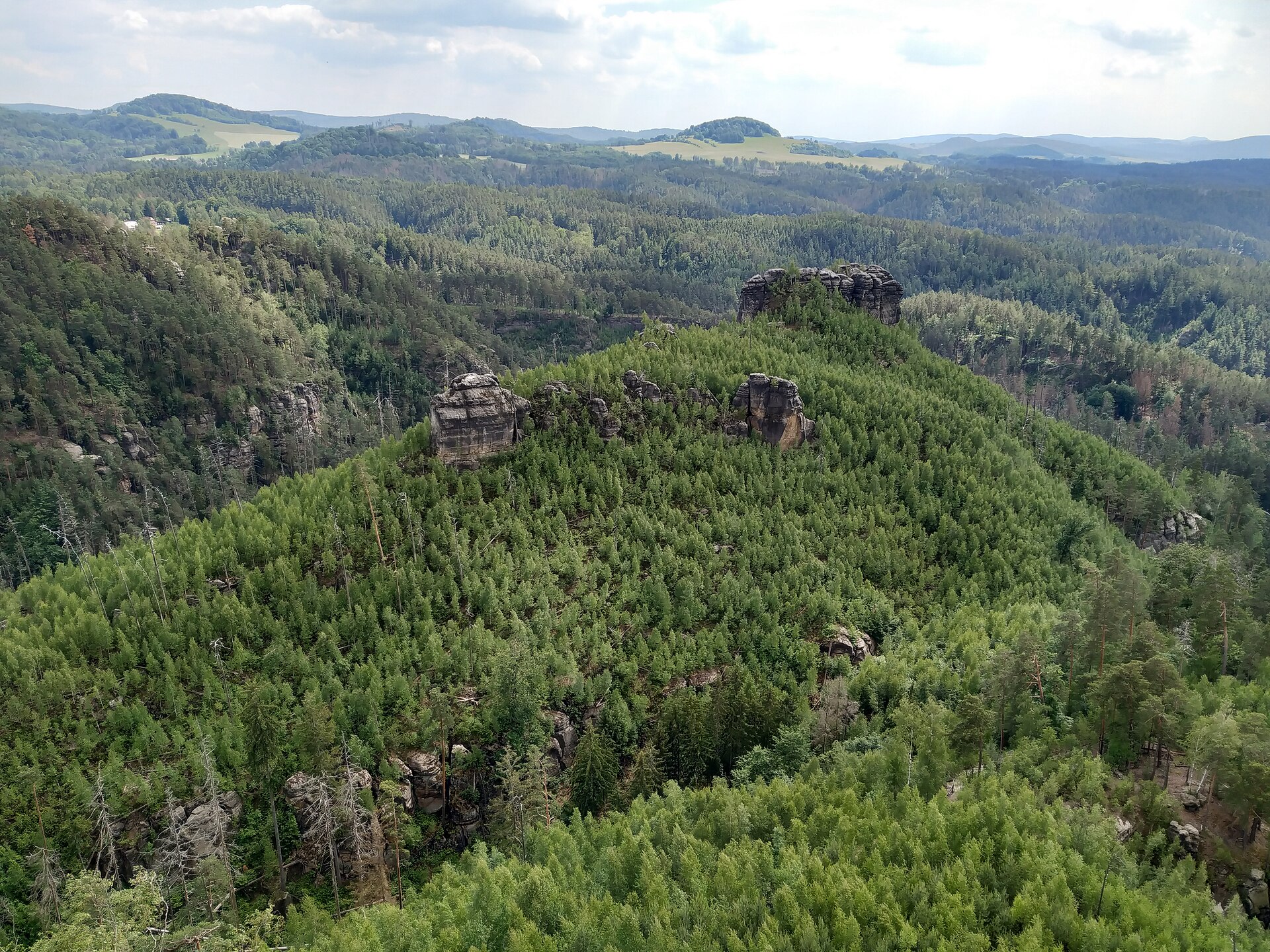
CzechiaGLERI route · official sources
Kyjovské údolí
Kyjovský hrádek in Kyjovské údolí
Photo credits

Place photograph · visual context, not traversal evidence. RomanM82 · CC BY-SA 4.0

Kyjov → Kyjovské údolíKyjovské údolí

Via Skalní bratři · Lví doupě +1Kyjov → Kyjovské údolí

HikeActivity
Route notes & sources

A National Park Administration educational excursion through Skalní bratři, Lví doupě and Kyjovský hrádek, descending into Kyjovské údolí.

Route notes describe the named stops; a GPS track is not stored.
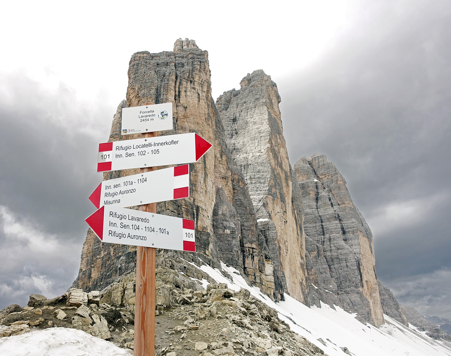
CzechiaGLERI route · official sources
Mariina skála
View from Mariina skála in Bohemian Switzerland
Photo credits

Place photograph · visual context, not traversal evidence. Lukas Beck · CC BY-SA 4.0

Jetřichovice information centre → Mariina skálaMariina skála

Via Jetřichovice viewpointsJetřichovice information centre → Mariina skála

HikeActivity
Route notes & sources

An official educational excursion from the Jetřichovice information centre through the Jetřichovice viewpoints, with Mariina skála as a named viewpoint.

Route notes describe the named stops; a GPS track is not stored.
DolomitesGLERI route · official sources
Forcella Lavaredo
Trail signs at Forcella Lavaredo and Tre Cime
Photo credits

Place photograph · visual context, not traversal evidence. Tiia Monto · CC BY-SA 3.0

Rifugio Auronzo → Forcella LavaredoForcella Lavaredo

Via Rifugio LavaredoRifugio Auronzo → Forcella Lavaredo

HikeActivity
Route notes & sources

Planning material for the source-confirmed CAI 101 section from Rifugio Auronzo through Rifugio Lavaredo to Forcella Lavaredo. It is not a digital navigation line.

Route notes describe the named stops; a GPS track is not stored.
SlovakiaGLERI route · official sources
Skok waterfall
Skok waterfall with Patria and Malá Bašta
Photo credits

Place photograph · visual context, not traversal evidence. Lupask · CC BY-SA 4.0

Štrbské Pleso → Štrbské PlesoSkok waterfall

Via ski jumps · Mlynická dolina +1Štrbské Pleso → Štrbské Pleso

HikeActivity10.6 kmSource distanceEasyDifficulty
Route notes & sources

The official route starts at Štrbské Pleso station, passes the ski jumps, and follows the yellow-marked path through Mlynická dolina to the foot of Skok Waterfall before returning the same way.

Route notes describe the named stops; a GPS track is not stored.
SlovakiaGLERI route · official sources
Nové Štrbské pleso
Nové Štrbské pleso in the High Tatras
Photo credits

Place photograph · visual context, not traversal evidence. Hugo · Public domain

Štrbské Pleso station → Štrbské Pleso stationNové Štrbské pleso

Via lake viewpoint · Štrbské pleso promenade +2Štrbské Pleso station → Štrbské Pleso station

Two lakes and Tatra views on a walk that starts and finishes by the station.

WalkActivity5 kmSource distanceEasyDifficulty
Route notes & sources

An educational walk from the station through viewpoints, the Štrbské pleso promenade, Hotel FIS and the smaller Nové Štrbské pleso.

Route notes describe the named stops; a GPS track is not stored.
SlovakiaGLERI route · official sources
Rainerova chata
Rainerova chata in the High Tatras
Photo credits

Place photograph · visual context, not traversal evidence. Bubamara · CC BY 2.5

Starý Smokovec → Rainerova chataRainerova chata

Via HrebienokStarý Smokovec → Rainerova chata

WalkActivity
Route notes & sources

Visit Tatry describes the green-marked approach from Starý Smokovec to Hrebienok and the continuation to Rainerova chata; Hrebienok also has separate funicular access.

Route notes describe the named stops; a GPS track is not stored.
CzechiaGLERI route · official sources
Chalupská slať
Chalupská slať peat bog in Šumava
Photo credits

Place photograph · visual context, not traversal evidence. Richenza · CC BY-SA 3.0

Svinná Lada parking area → Chalupská slať viewpointChalupská slať

Via Svinná Lada visitor centre · wooden boardwalkSvinná Lada parking area → Chalupská slať viewpoint

WalkActivityEasyDifficulty
Route notes & sources

A short Šumava National Park walk from the Svinná Lada parking area via the visitor centre, then over asphalt and a raised wooden boardwalk to the peat-lake viewpoint.

Route notes describe the named stops; a GPS track is not stored.
CzechiaGLERI route · official sources
Prášilské jezero
Prášilské jezero in Šumava
Photo credits

Place photograph · visual context, not traversal evidence. Dipsey · Public domain

Prášily or Slunečná → green-marked returnPrášilské jezero

Via Prášilské jezero · PoledníkPrášily or Slunečná → green-marked return

HikeActivity17.5 kmSource distanceHardDifficulty
Route notes & sources

The National Park route starts in Prášily or Slunečná, follows red marks to Prášilské jezero, continues to Poledník and returns on green marks.

Route notes describe the named stops; a GPS track is not stored.
DolomitesGLERI route · official sources
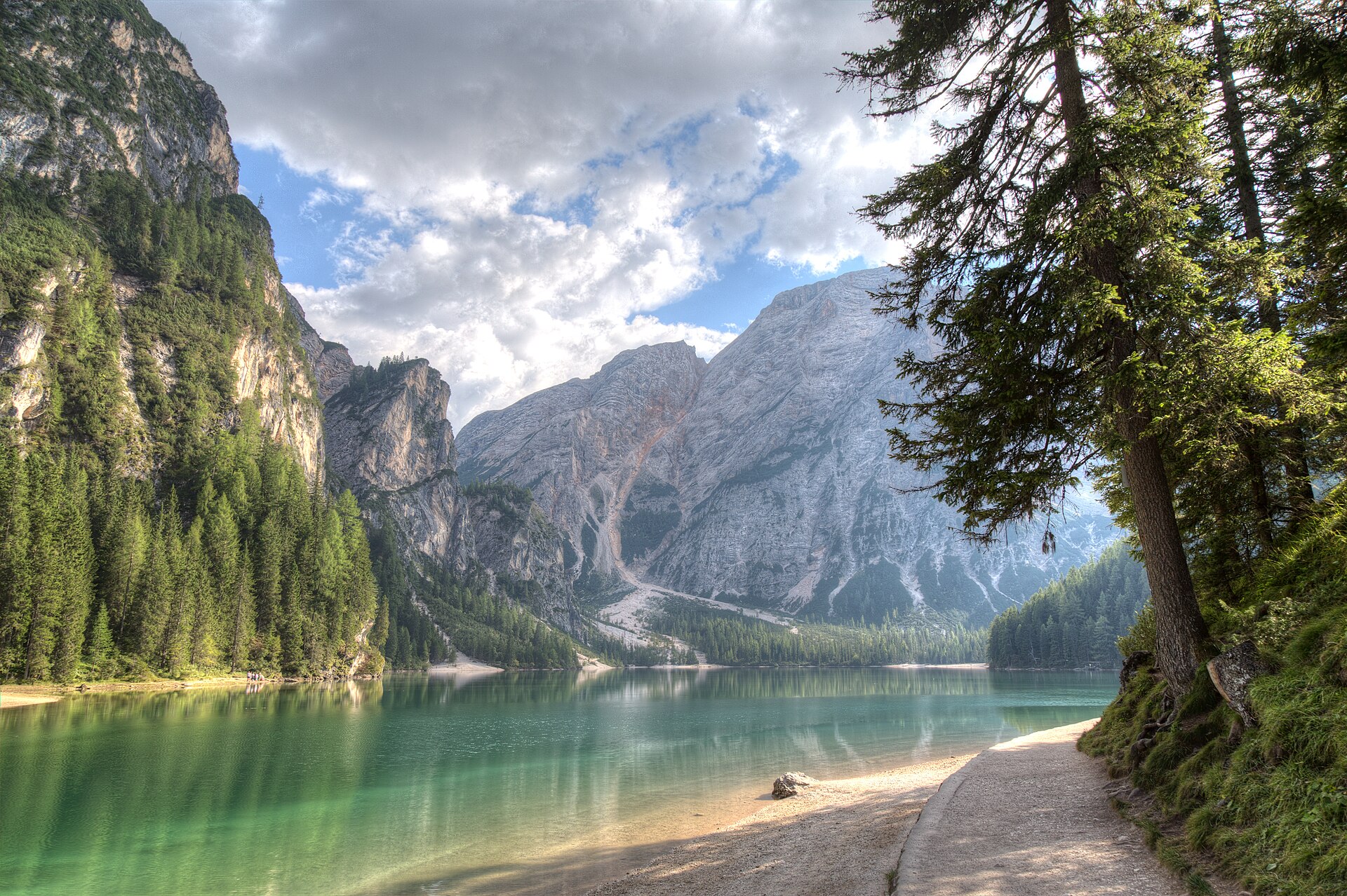
Lago di Braies
Reflections on Lago di Braies
Photo credits

Place photograph · visual context, not traversal evidence. Daniele Bonaldo · CC BY-SA 4.0

Pragser Wildsee / Lago di Braies → Pragser Wildsee / Lago di BraiesLago di Braies

Via wide forest road · path with stepsPragser Wildsee / Lago di Braies → Pragser Wildsee / Lago di Braies

WalkActivity
Route notes & sources

The official tourist office describes a lake circuit with a wide forest road on one side and a path with ascents and steps on the other.

Route notes describe the named stops; a GPS track is not stored.
DolomitesGLERI route · official sources
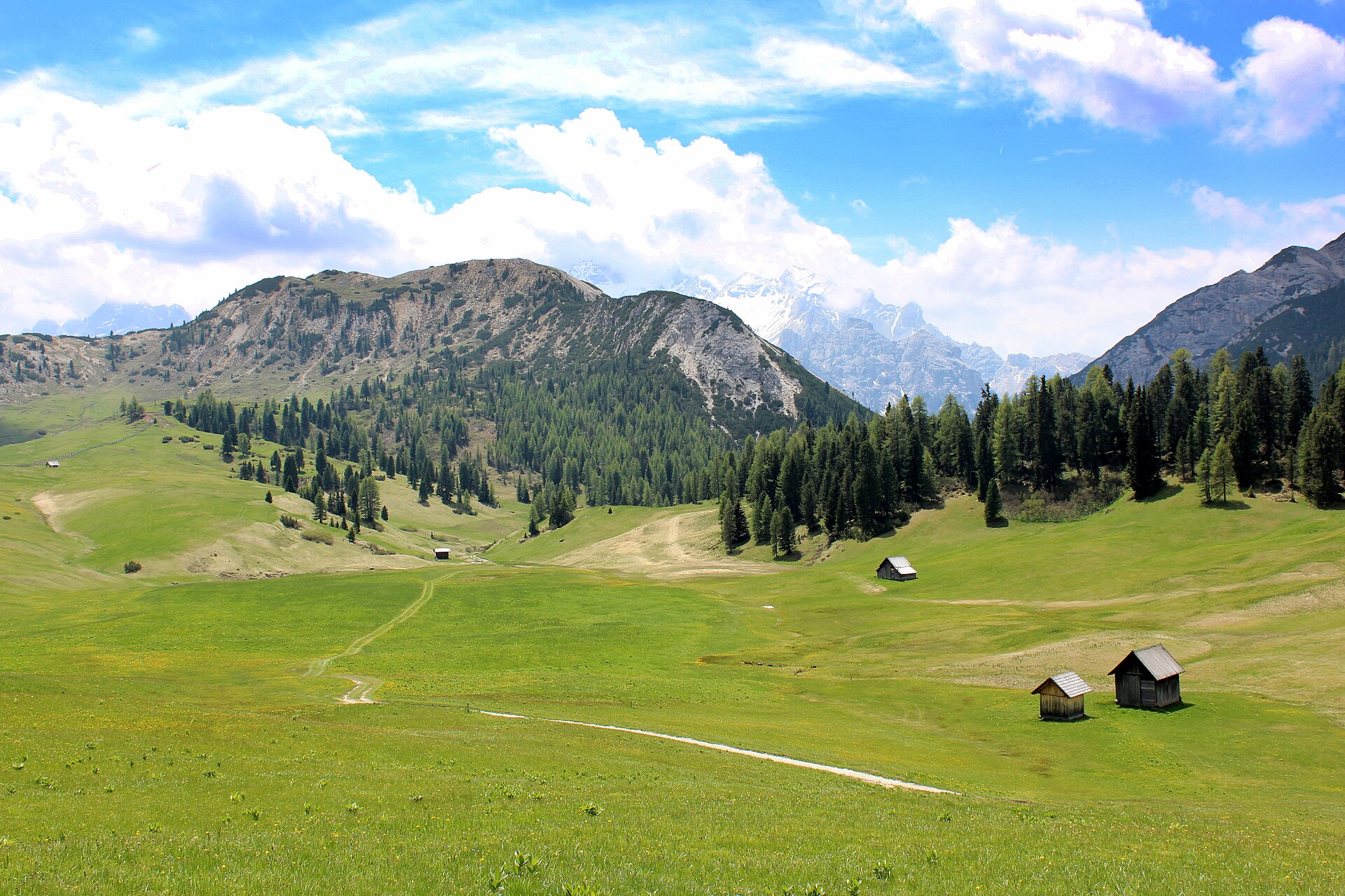
Plätzwiese
Plätzwiese high plateau
Photo credits

Place photograph · visual context, not traversal evidence. Cklang · CC BY-SA 3.0 DE

Brückele / Ponticello → PlätzwiesePlätzwiese

Via wide gravel path 37 · roadside sectionBrückele / Ponticello → Plätzwiese

HikeActivity5 kmSource distance
Route notes & sources

Option A in the official description follows wide gravel path 37 from Brückele to the Plätzwiese high plateau, with the final section running beside the road.

Route notes describe the named stops; a GPS track is not stored.
DolomitesGLERI route · official sources
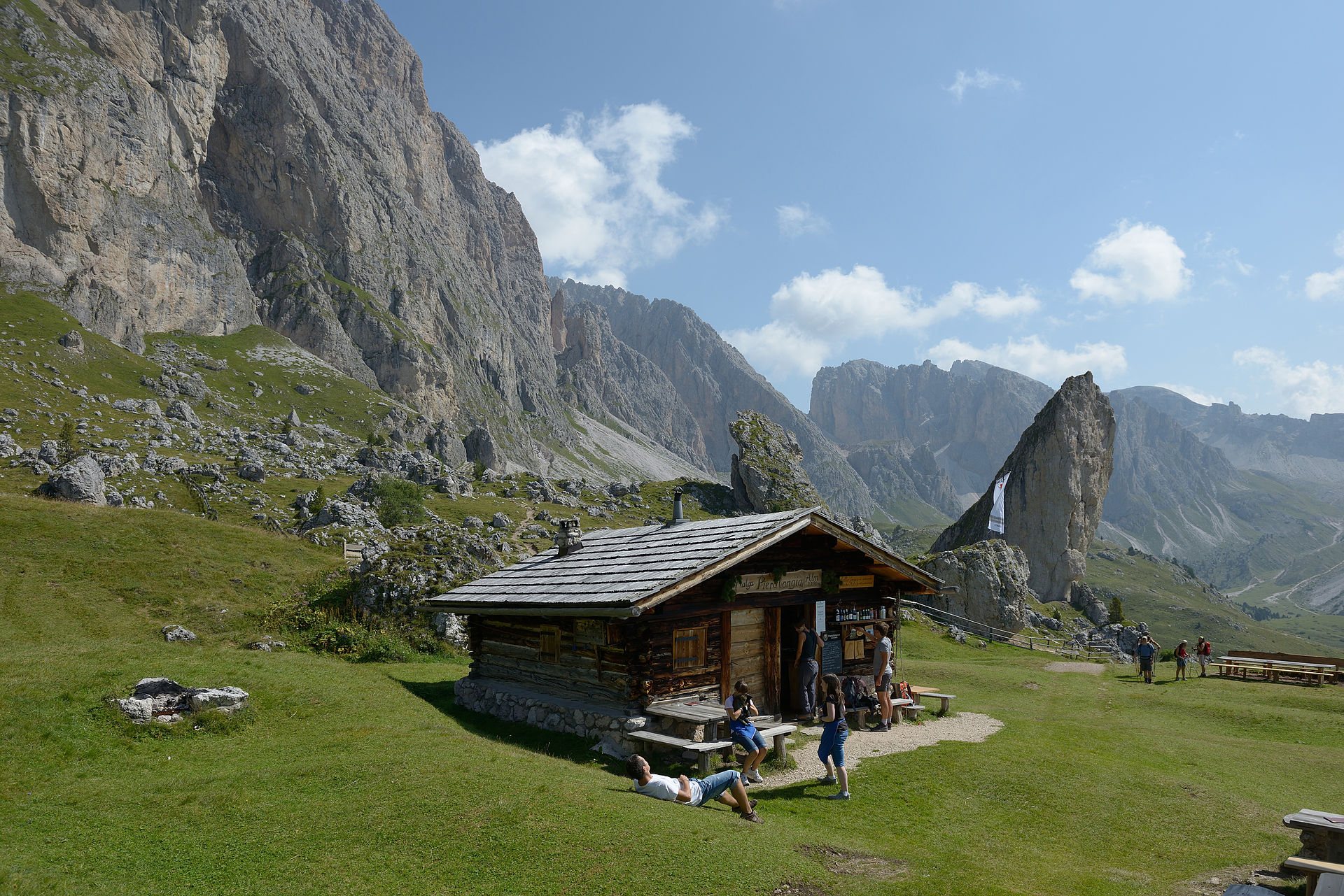
Pieralongia
Pieralongia hut on the Cisles alpine meadow
Photo credits

Place photograph · visual context, not traversal evidence. Wolfgang Moroder · CC BY-SA 3.0

Seceda mountain station → Seceda mountain stationPieralongia

Via Seceda ridgeline viewpoint · Pieralongia Hut +3Seceda mountain station → Seceda mountain station

HikeActivity5.8 kmSource distanceEasyDifficulty
Route notes & sources

Seceda Cableways' official route passes the ridgeline viewpoint, Pieralongia, the World Heritage Terrace and Odles Hut, then uses the Fermeda chairlift for the return.

Route notes describe the named stops; a GPS track is not stored.
DolomitesGLERI route · official sources
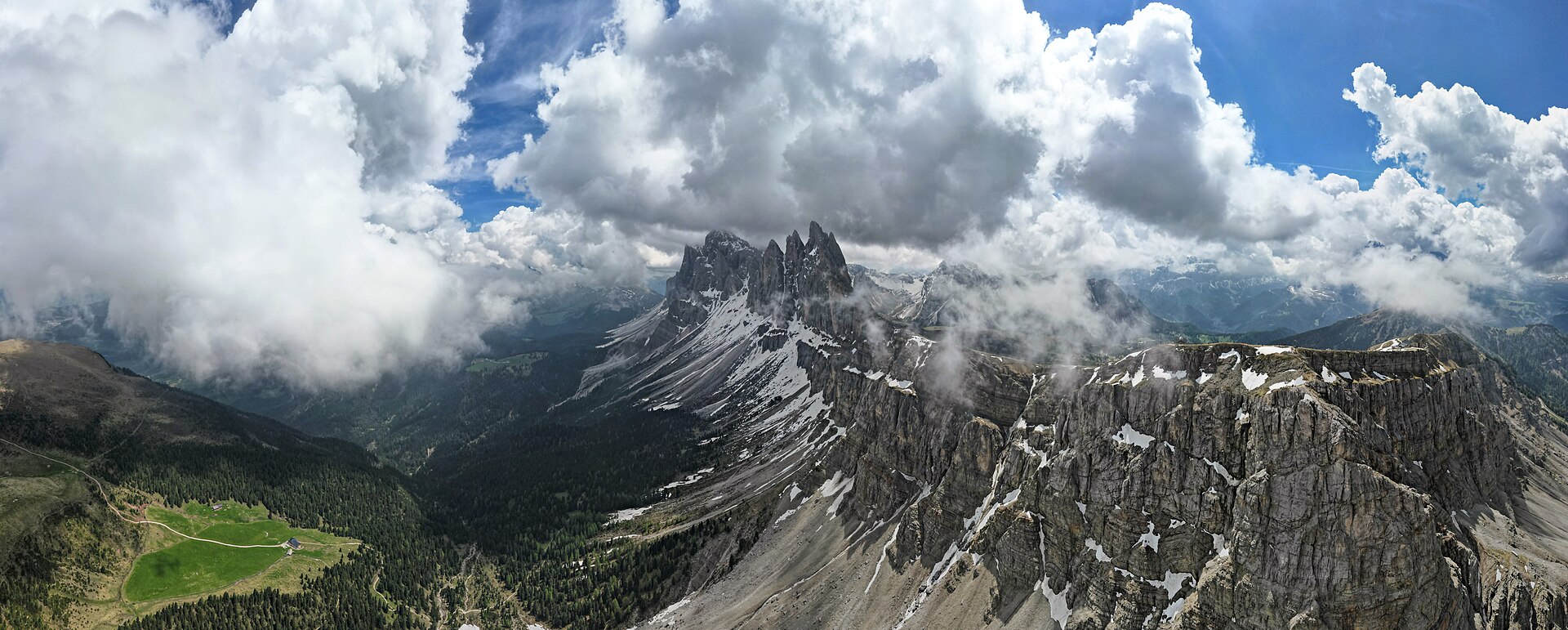
Seceda
The Dolomites from Seceda
Photo credits

Place photograph · visual context, not traversal evidence. BobTanGo · CC BY 4.0

Seceda mountain station → Seceda mountain stationSeceda

Via Seceda viewpoint · Trojer Hut +3Seceda mountain station → Seceda mountain station

HikeActivity4.2 kmSource distanceEasyDifficulty
Route notes & sources

A second official Seceda option descends past Trojer Hut and Lech da Iman to Fermeda Hut, then uses the Fermeda chairlift for the return.

Route notes describe the named stops; a GPS track is not stored.
SlovakiaGLERI route · official sources
Popradské pleso
Popradské pleso viewed from Ostrva
Photo credits

Place photograph · visual context, not traversal evidence. Hugo · Public domain

Štrbské Pleso → Popradské plesoPopradské pleso

Via Trigan areaŠtrbské Pleso → Popradské pleso

A forest approach to a mountain lake, with a clear destination to look forward to.

HikeActivityEasyDifficulty
Route notes & sources

A specific forest route published by the Štrbské Pleso regional tourism organisation. Seasonal rules are preserved without promising that the trail is open.

The map uses a reference line; check the marked trail on arrival.

Public routes from travellers

Traveller-published · independently verify details
Loading community routes…