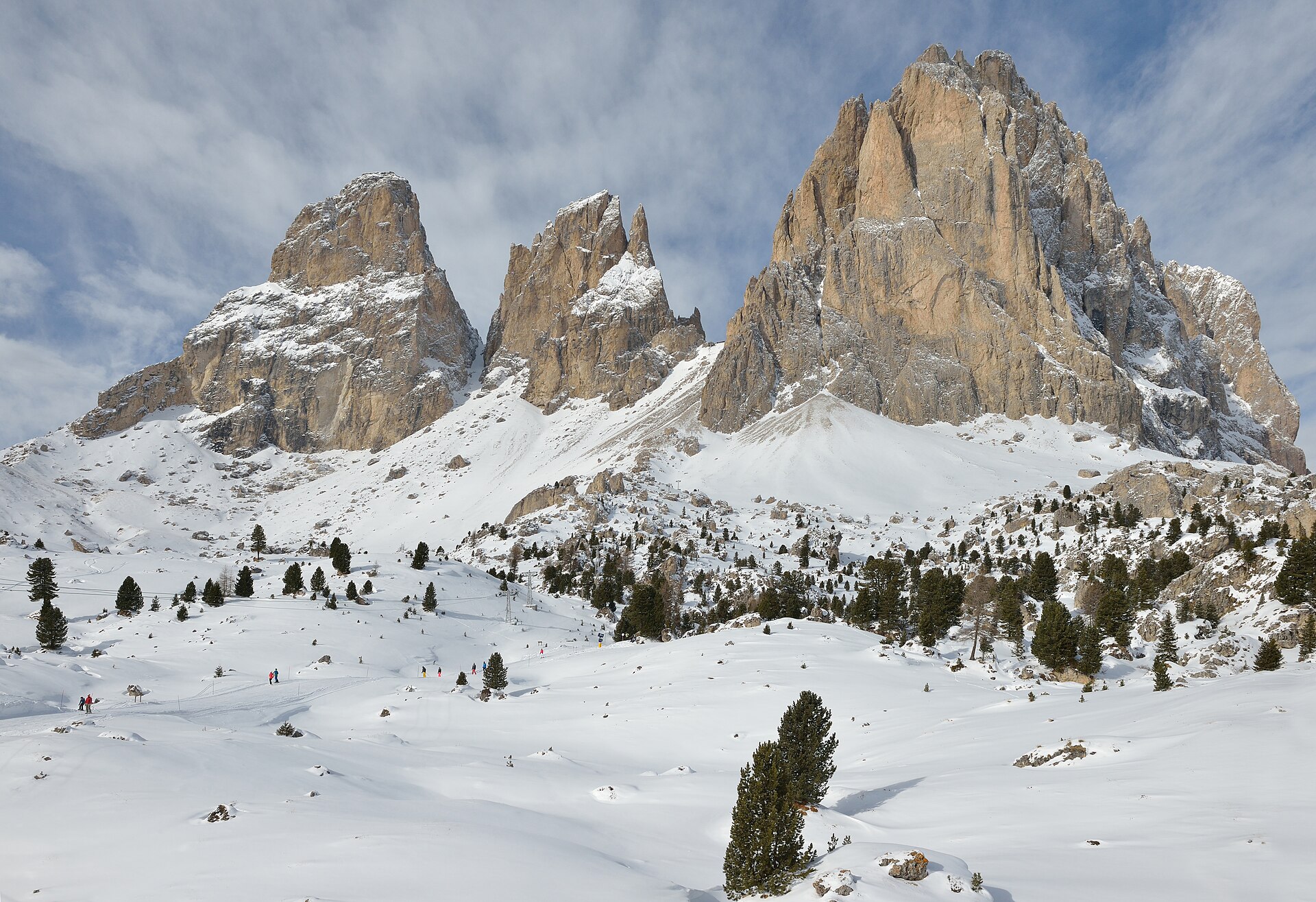
Photo credits
This Photo was taken by Wolfgang Moroder.
Feel free to use my photos, but please mention me as the author and send me a message.
This image is not in the public domain. Please respect the copyright protection. It may only be used according to the rules mentioned here. This specifically excludes use in social media, if applicable terms of the licenses listed here not appropriate.
Please do not upload an updated image here without consultation with the Author. The author would like to make corrections only at his own source. This ensures that the changes are preserved.Please if you think that any changes should be required, please inform the author.Otherwise you can upload a new image with a new name. Please use one of the templates derivative or extract. · CC BY-SA 3.0Place photography
HikeDolomites
Around the Sassolungo group
A full mountain day from Mont Sëura via Comici, Stone City, Passo Sella and the huts below Sassopiatto.
- Full loop
- 17.4km
- Difficulty
- Hard
- Named stops
- 8
Route map
Start areaA verified start pin and route line are not available yet. Use the named stops below and the official source map to plan your walk. Open source
Route stops
08In the order described by the source. Search a place in Google Maps.
Before you go
- Check trail conditions, snow and lift operation before travelling. This description does not confirm that the trail is open today.
Reviewed sources
GLERI checked the route description on 15 Oct 2026.
Official sources1
- DOLOMITES Val GardenaAround the Sassolungo group2026-10-15
Map and elevation information
The reviewed record contains named stops. A verified start coordinate, route line and elevation profile have not been added.
Source review does not confirm that the GLERI team traversed the route or that access is open today.