WalkSlovakia
Hrebienok waterfall circuit
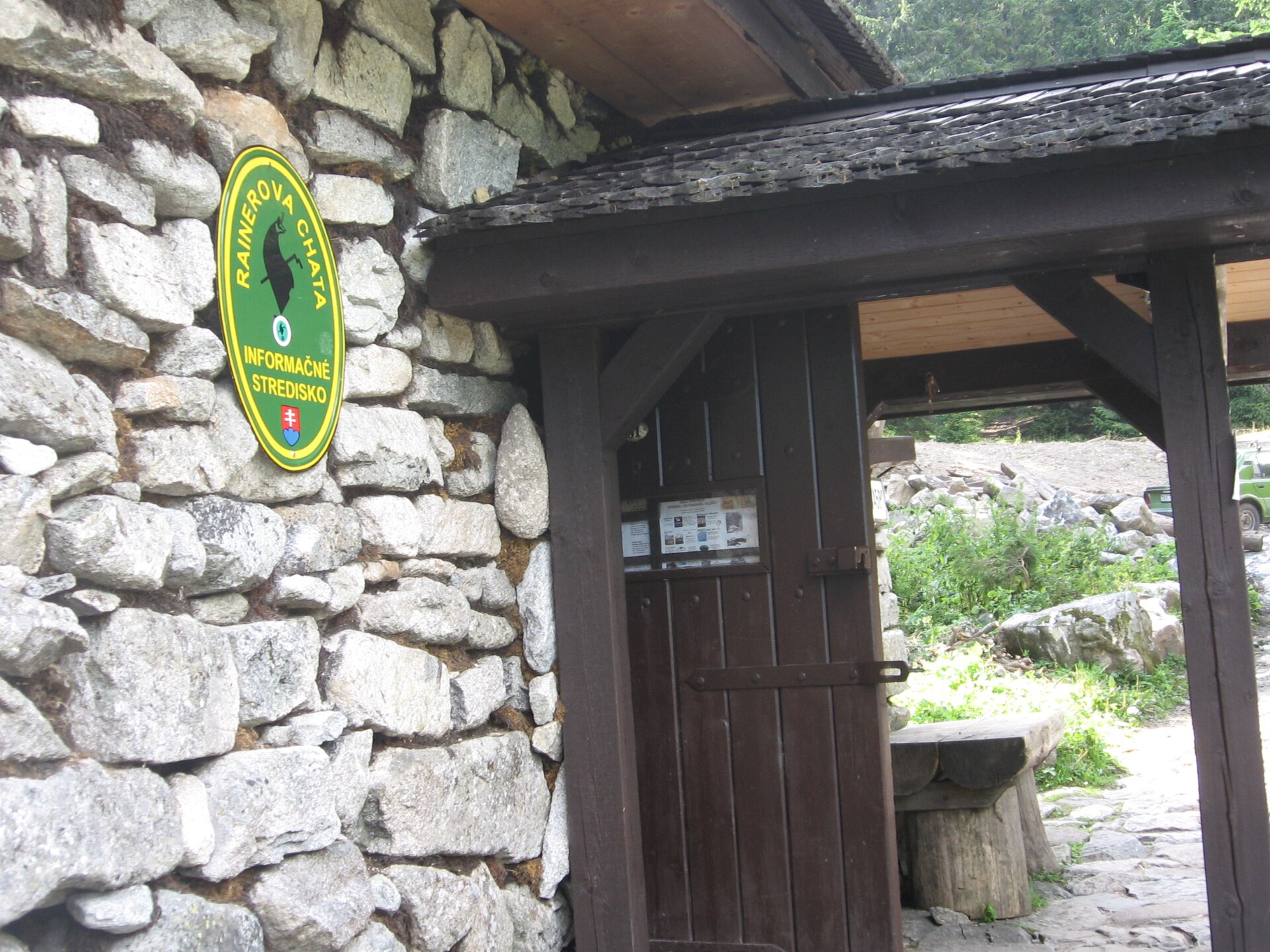
An educational trail from Hrebienok via Rainerova hut to the Studený potok waterfalls, returning to the start.
- Full loop
- 4km
- Named stops
- 4
Route map
Start areaA verified start pin and route line are not available yet. Use the named stops below and the official source map to plan your walk. Open source
Route stops
04In the order described by the source. Search a place in Google Maps.
Before you go
- Allow separately for reaching Hrebienok and check funicular operation. Check weather and trail conditions with HZS before setting out.
Reviewed sources
GLERI checked the route description on 15 Oct 2026.
Official sources1
- Visit TatryHrebienok waterfall circuit2026-10-15
Map and elevation information
The reviewed record contains named stops. A verified start coordinate, route line and elevation profile have not been added.
Source review does not confirm that the GLERI team traversed the route or that access is open today.