Photo credits
HikeCzechia
Bohemian Forest: Prášily → Prášilské jezero → Poledník → green-marked return
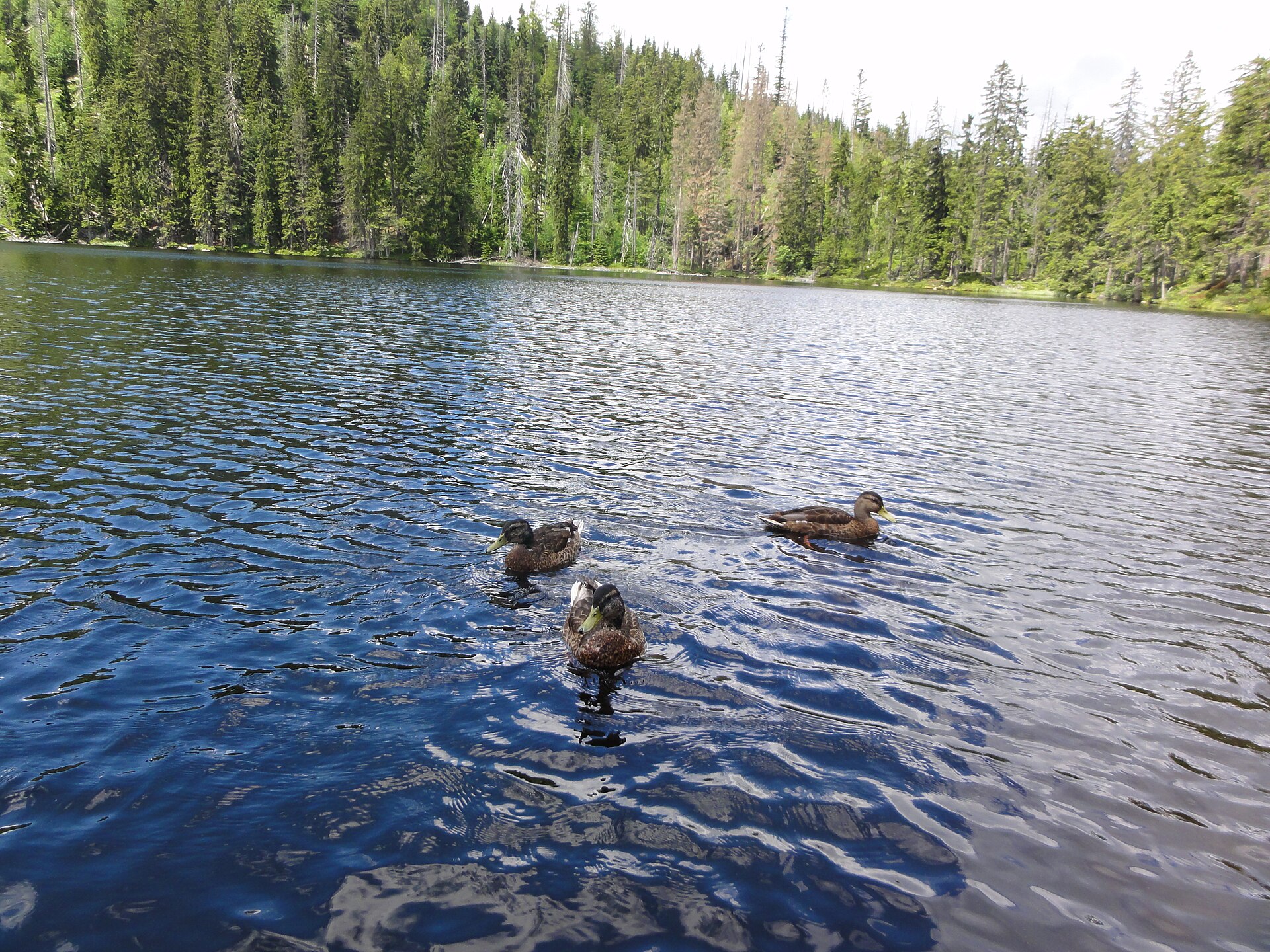
The National Park route starts in Prášily or Slunečná, follows red marks to Prášilské jezero, continues to Poledník and returns on green marks.
- Distance
- 17.5km
- Difficulty
- Hard
- Named stops
- 4
Route map
Start areaZoom

Opening the map…
The pin shows the source-reviewed start area. The named stops below describe the route; a route line is not available yet.
Route stops
04In the order described by the source. Search a place in Google Maps.
Before you go
- The Park Administration gives a separate seasonal opening window for the Poledník–Gsenget section. Check current Šumava National Park closures and warnings before the hike.
Reviewed sources
GLERI checked the route description on 1 Oct 2026.
Official sources1
- Šumava National Park AdministrationTo the lake of Prášilské jezero and to Poledník2026-10-01
Map and elevation information
The reviewed record provides named stops and a start-area coordinate. It has no reusable route line or elevation profile.
Source review does not confirm that the GLERI team traversed the route or that access is open today.