Photo credits
HikeDolomites
Mont Sëura → Passo Sella
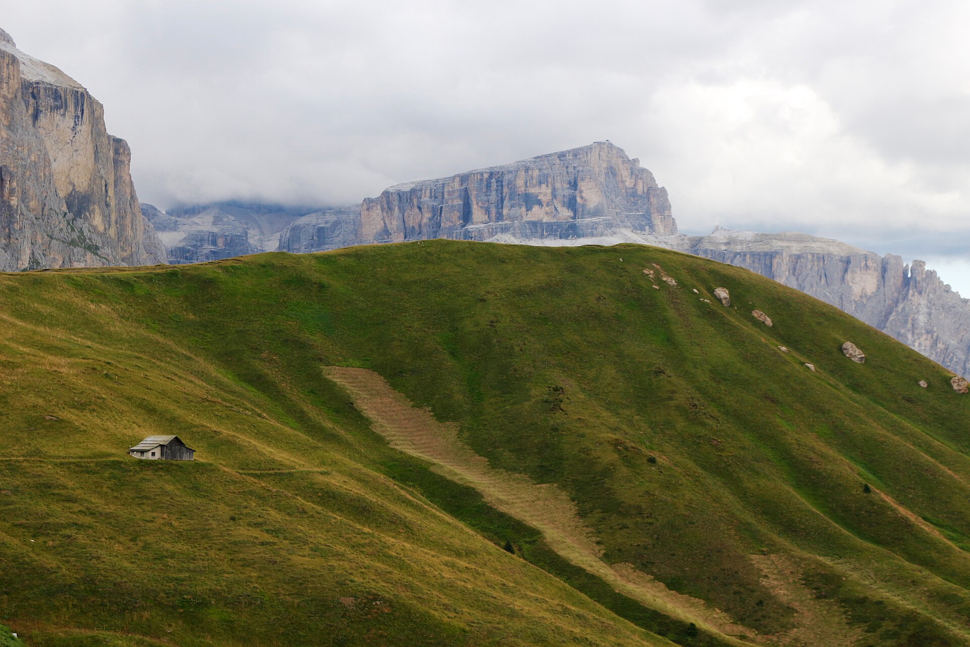
The walking section from the upper station above Monte Pana to Passo Sella, beneath Sassolungo through rocks and mountain pine.
- One way
- 4.7km
- Difficulty
- Easy
- Named stops
- 3
Route map
Start areaA verified start pin and route line are not available yet. Use the named stops below and the official source map to plan your walk. Open source
Route stops
03In the order described by the source. Search a place in Google Maps.
Before you go
- 4.7 km refers to the walking section after the lift. Check lift operation and transport from the pass for your return.
Reviewed sources
GLERI checked the route description on 15 Oct 2026.
Official sources1
- DOLOMITES Val GardenaMont Sëura → Passo Sella2026-10-15
Map and elevation information
The reviewed record contains named stops. A verified start coordinate, route line and elevation profile have not been added.
Source review does not confirm that the GLERI team traversed the route or that access is open today.