Photo credits
HikeSlovakia
High Tatras: Štrbské Pleso → Rázcestie pod Furkotskou dolinou → Jamské pleso
A GLERI editorial route following the clean official description published by the Štrbské Pleso regional tourism organisation.
- Difficulty
- Easy
- Named stops
- 3
Why GLERI chose this walk
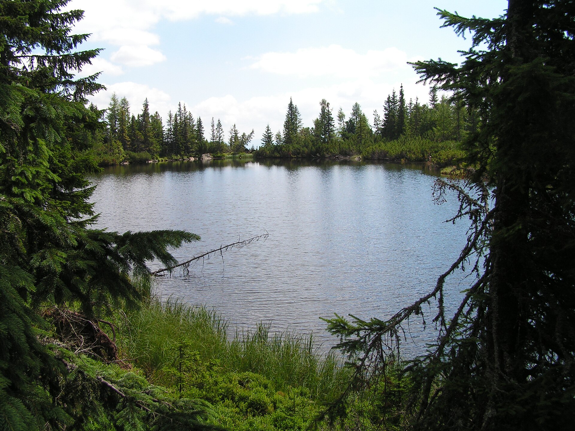
A forest trail to a lake for those who want to give the mountains half a day.
- A moment to look forward to
- Jamské pleso in its pine forest is the main stop along the way.
- Who it suits
- For a forest hike from Štrbské Pleso. The official description lists 9.4 km and 2 hr 50 min for the outing with a return.
- What to consider
- The catalog names the outward route; the source time and distance include a return. Choose your return path and check TANAP restrictions beforehand.
Route map
Start areaZoom

Opening the map…
The pin shows the source-reviewed start area. The named stops below describe the route; a route line is not available yet.
Route stops
03In the order described by the source. Search a place in Google Maps.
Before you go
- This record does not confirm current access. Check TANAP restrictions and HZS conditions before travelling.
Reviewed sources
GLERI checked the route description on 26 Sept 2026.
Official sources3
- 2026-09-26
- Horská záchranná službaCurrent High Tatras conditions2026-09-26
- Štrbské Pleso regional tourism organisationFrom Štrbské Pleso to Jamské pleso and back2026-09-26
Map and elevation information
The reviewed record provides named stops and a start-area coordinate. It has no reusable route line or elevation profile.
Source review does not confirm that the GLERI team traversed the route or that access is open today.