Photo credits
HikeDolomites
Dolomites: Brückele / Ponticello → path 37 → Plätzwiese
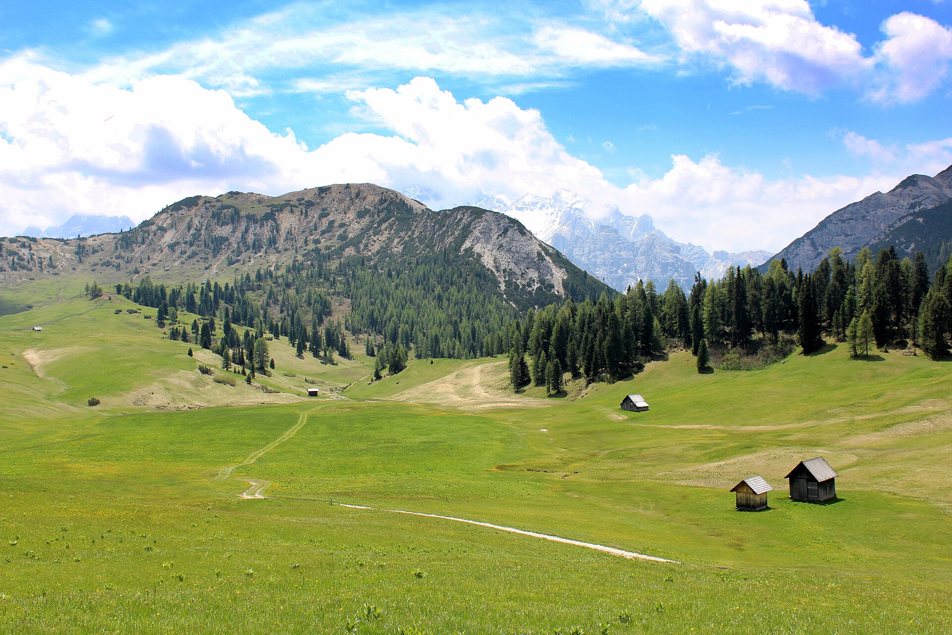
Option A in the official description follows wide gravel path 37 from Brückele to the Plätzwiese high plateau, with the final section running beside the road.
- Distance
- 5km
- Named stops
- 4
Route map
Start areaZoom

Opening the map…
The pin shows the source-reviewed start area. The named stops below describe the route; a route line is not available yet.
Route stops
04In the order described by the source. Search a place in Google Maps.
Before you go
- Bus service, toll-road access and vehicle entry times follow seasonal rules. Check current conditions and service operation before travelling.
Reviewed sources
GLERI checked the route description on 1 Oct 2026.
Official sources1
- Tourist Office Pragser Tal ValleyPlätzwiese high plateau2026-10-01
Map and elevation information
The reviewed record provides named stops and a start-area coordinate. It has no reusable route line or elevation profile.
Source review does not confirm that the GLERI team traversed the route or that access is open today.