WalkSlovakia
High Tatras: Starý Smokovec → Hrebienok → Rainerova chata
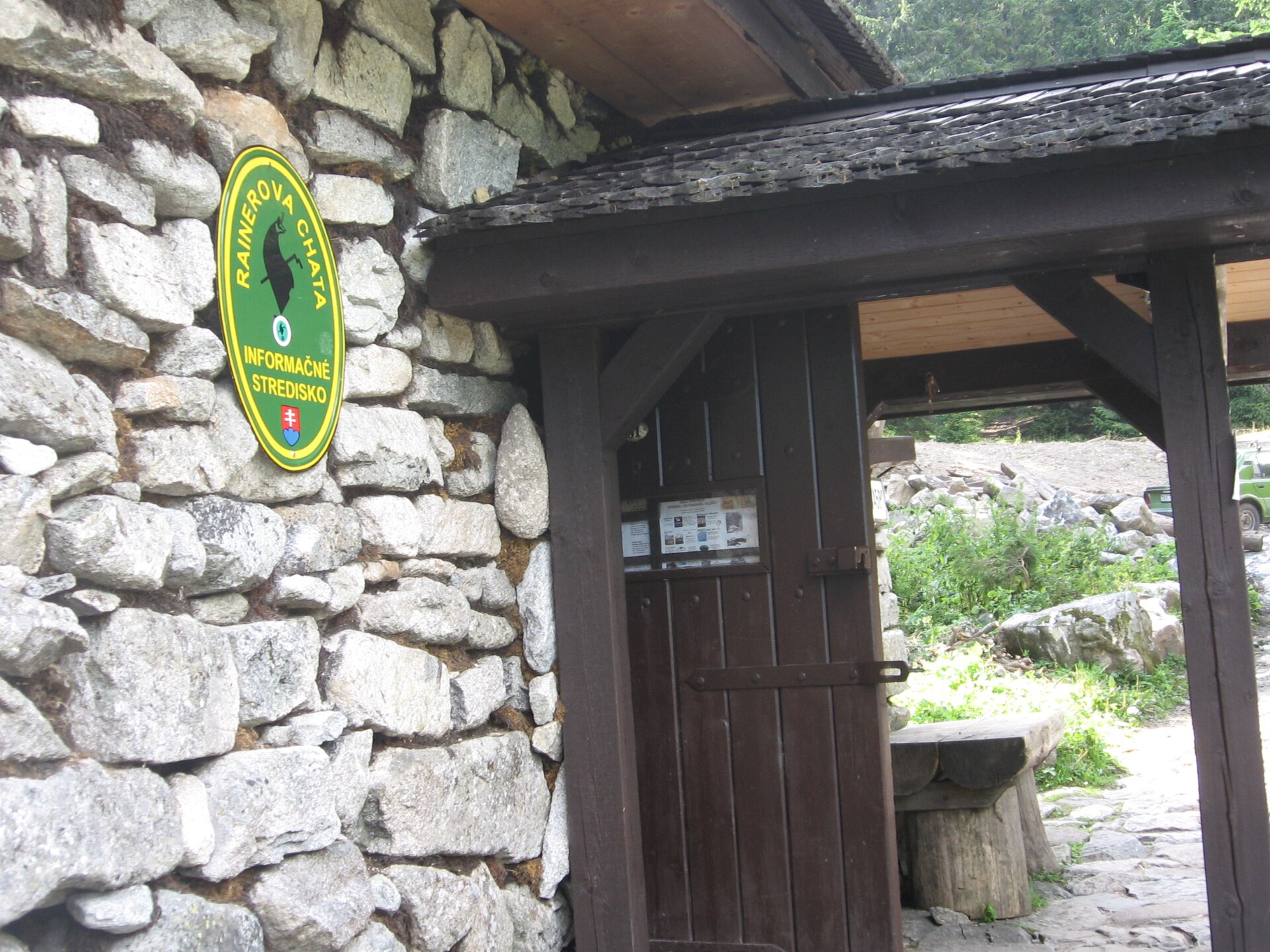
Visit Tatry describes the green-marked approach from Starý Smokovec to Hrebienok and the continuation to Rainerova chata; Hrebienok also has separate funicular access.
- Named stops
- 3
Route map
Start areaZoom

Opening the map…
The pin shows the source-reviewed start area. The named stops below describe the route; a route line is not available yet.
Route stops
03In the order described by the source. Search a place in Google Maps.
Before you go
- Check the funicular operation, marked-trail conditions and current HZS warnings through the official channels before setting out.
Reviewed sources
GLERI checked the route description on 1 Oct 2026.
Official sources2
- Horská záchranná službaCurrent High Tatras conditions2026-09-26
- Visit TatryRainerova chata2026-10-01
Map and elevation information
The reviewed record provides named stops and a start-area coordinate. It has no reusable route line or elevation profile.
Source review does not confirm that the GLERI team traversed the route or that access is open today.