Photo credits
HikeUkrainian Carpathians
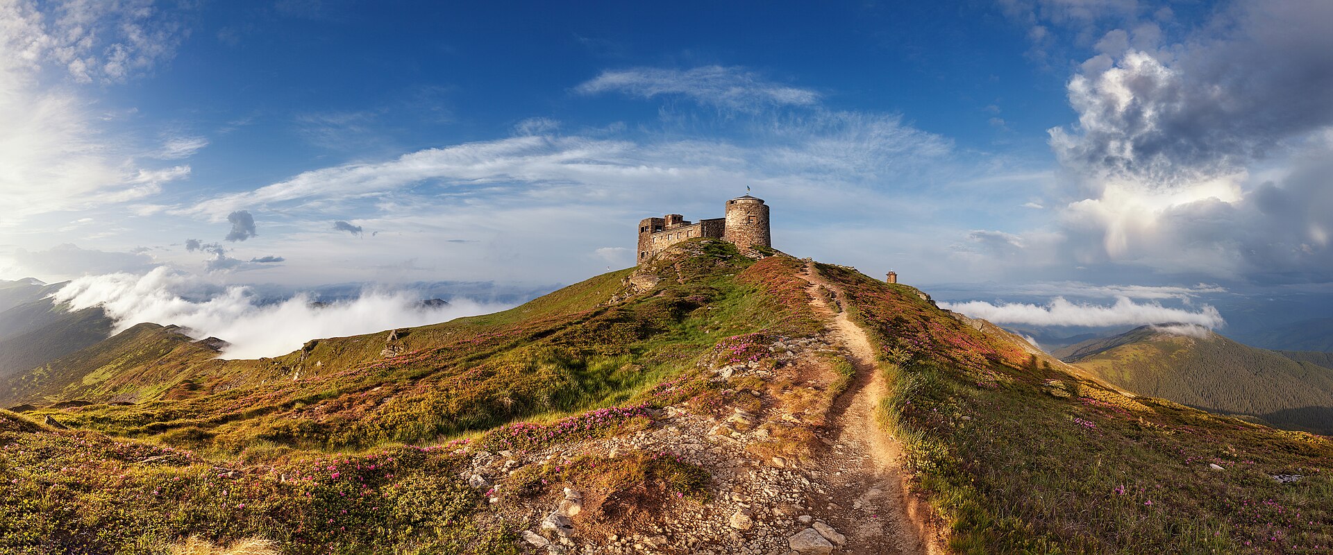
Pip Ivan via Lake Maricheika
A forest approach from Shybene, Vesnarka meadow and a lake before climbing to the stone observatory on the Chornohora ridge.
- One way
- 10.3km
- Difficulty
- Hard
- Named stops
- 5
Route map
Start areaA verified start pin and route line are not available yet. Use the named stops below and the official source map to plan your walk. Open source
Route stops
05In the order described by the source. Search a place in Google Maps.
Before you go
- Check access and weather with the park before setting out. Conditions change quickly on exposed slopes; stay on marked trails.
Reviewed sources
GLERI checked the route description on 15 Oct 2026.
Official sources1
- Карпатський національний природний паркPip Ivan via Lake Maricheika2026-10-15
Map and elevation information
The reviewed record contains named stops. A verified start coordinate, route line and elevation profile have not been added.
Source review does not confirm that the GLERI team traversed the route or that access is open today.