Photo credits
HikeSlovakia
High Tatras: Štrbské Pleso → Popradské pleso
A specific forest route published by the Štrbské Pleso regional tourism organisation. Seasonal rules are preserved without promising that the trail is open.
- Reference length
- 4.1km
- Difficulty
- Easy
- Named stops
- 3
Why GLERI chose this walk
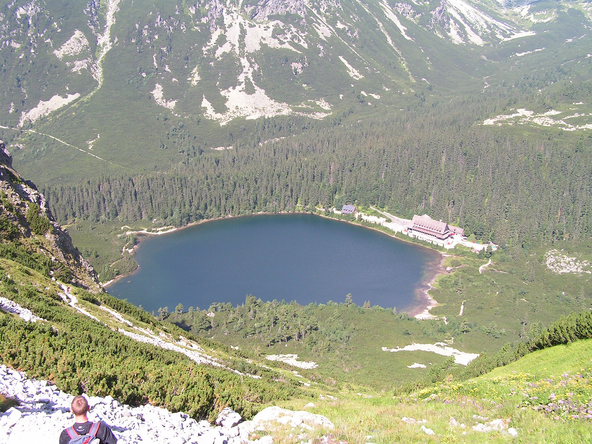
A forest approach to a mountain lake, with a clear destination to look forward to.
- A moment to look forward to
- The shore of Popradské pleso after the forest section.
- Who it suits
- For half a day in the mountains. The source lists 10.2 km and 3 hours including the return; GLERI’s reference line shows only the outward leg.
- What to consider
- The red section through Trigan has seasonal restrictions. The winter alternative is a different path: check TANAP and HZS conditions before setting out.
Route map
Reference lineZoom

Opening the map…
Orange: reviewed reference line. Map reference only; no turn guidance.
Terrain profile · estimate4.1 km261 m97 m
Vertical datum unverified · reference onlyRoute stops
03In the order described by the source. Search a place in Google Maps.
Before you go
- TANAP seasonally closes the red section through Trigan, while the official route description mentions a green winter alternative. This is not a live access or safety guarantee; check HZS conditions before travelling.
- An open trail does not mean safe conditions. Check weather, snow, warnings and temporary restrictions on the day of travel.
Reviewed sources
GLERI checked the route description on 26 Sept 2026.
Official sources3
- Štrbské Pleso regional tourism organisationFrom Štrbské Pleso to Popradské Pleso and back2026-09-26
- 2026-09-26
- Horská záchranná službaCurrent High Tatras conditions2026-09-26
Map and elevation information
The reviewed line is a map reference only. Terrain elevations are estimates with an unverified vertical datum.
Source review does not confirm that the GLERI team traversed the route or that access is open today.
Copernicus / EU-DEM / CLMS · OpenStreetMap contributors / ODbL