Photo credits
WalkSlovakia
High Tatras: Štrbské Pleso and Nové Štrbské pleso educational loop
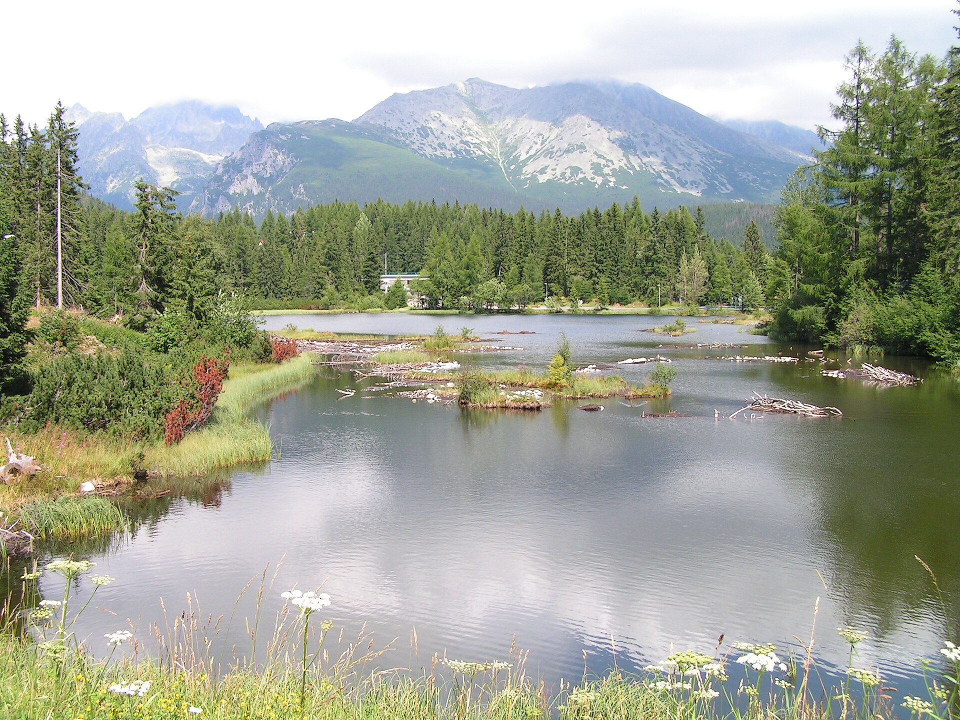
An educational walk from the station through viewpoints, the Štrbské pleso promenade, Hotel FIS and the smaller Nové Štrbské pleso.
- Distance
- 5km
- Difficulty
- Easy
- Named stops
- 6
Why GLERI chose this walk
Two lakes and Tatra views on a walk that starts and finishes by the station.
- A moment to look forward to
- Compare the mountain panorama above Štrbské pleso with the view from the smaller Nové Štrbské pleso.
- Who it suits
- For a first car-free day in the Tatras. The source lists 5 km and 2 hr 30 min for the full educational loop.
- What to consider
- The description includes stone steps. If you need a step-free route, confirm an alternative with the local information centre; check your return train.
Route map
Start areaZoom

Opening the map…
The pin shows the source-reviewed start area. The named stops below describe the route; a route line is not available yet.
Route stops
06In the order described by the source. Search a place in Google Maps.
Before you go
- The official description includes stone steps near the start. Check surface and weather conditions before the walk; this record is not a live accessibility confirmation.
Reviewed sources
GLERI checked the route description on 1 Oct 2026.
Official sources2
- Horská záchranná službaCurrent High Tatras conditions2026-09-26
- Štrbské Pleso regional tourism organisationŠtrbské Pleso Educational Trail2026-10-01
Map and elevation information
The reviewed record provides named stops and a start-area coordinate. It has no reusable route line or elevation profile.
Source review does not confirm that the GLERI team traversed the route or that access is open today.