Photo credits
WalkCzechia
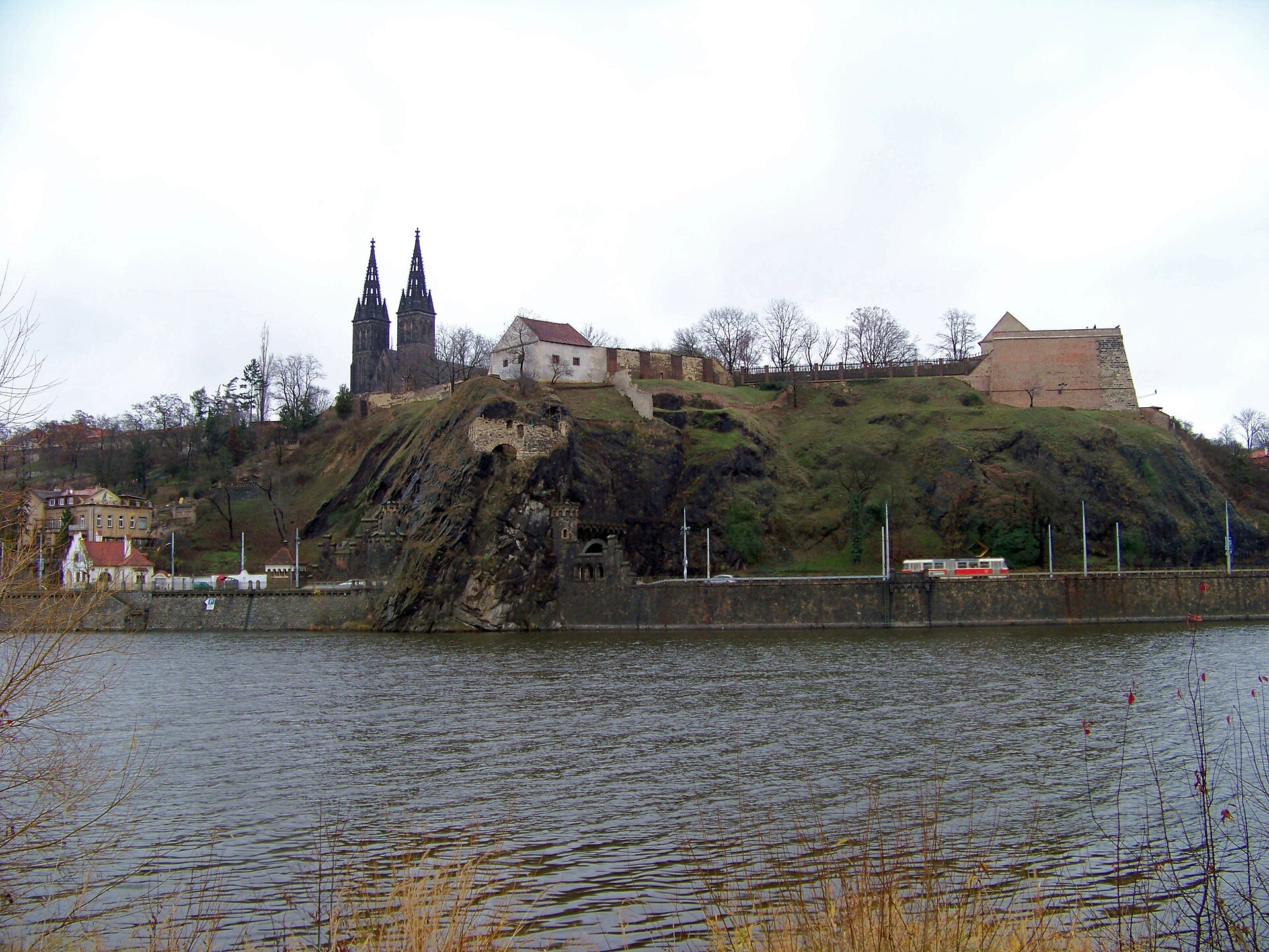
Prague: Palackého náměstí → Vyšehrad → Karlov → Palackého náměstí
A Prague City Tourism circuit along the riverfront to Vyšehrad, through the fortifications and gardens, then via Karlov and the botanical garden back to Palackého náměstí.
- Distance
- 5km
- Difficulty
- Moderate
- Named stops
- 8
Why GLERI chose this walk
The riverfront, fortress walls and a different view of Prague in one walk.
- A moment to look forward to
- The view over the Vltava from the Vyšehrad ramparts.
- Who it suits
- For a car-free city outing: the 5 km loop starts at Palackého náměstí by Karlovo náměstí metro.
- What to consider
- Expect stairs and climbs to Vyšehrad and Karlov. Allow for the hills and check garden and monument opening hours separately.
Route map
Start areaZoom

Opening the map…
The pin shows the source-reviewed start area. The named stops below describe the route; a route line is not available yet.
Route stops
08In the order described by the source. Search a place in Google Maps.
Before you go
- The official description calls this a more demanding walk because of the terrain. Check access to individual buildings and gardens on their own official pages.
Reviewed sources
GLERI checked the route description on 1 Oct 2026.
Official sources1
- Prague City TourismVyšehrad — Czech history uphill and downhill2026-10-01
Map and elevation information
The reviewed record provides named stops and a start-area coordinate. It has no reusable route line or elevation profile.
Source review does not confirm that the GLERI team traversed the route or that access is open today.